Geography | Home / Land cover maps
Land cover maps
Land cover map of the world

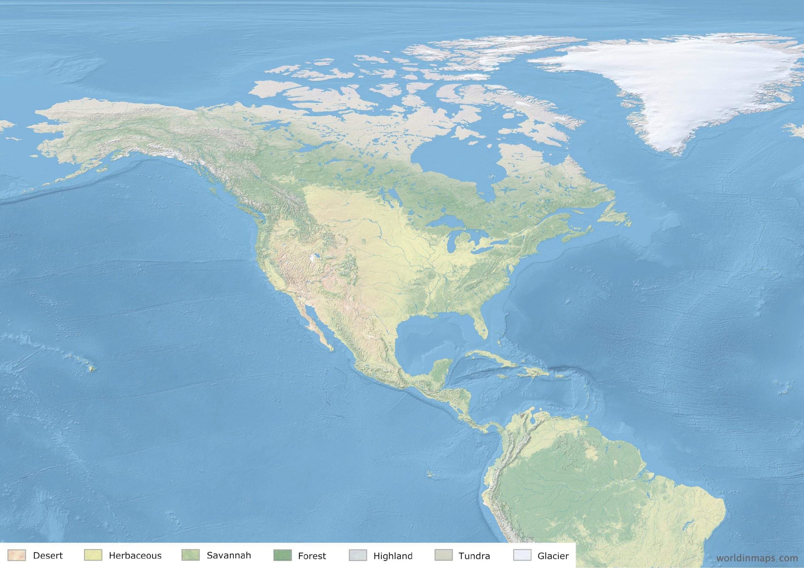
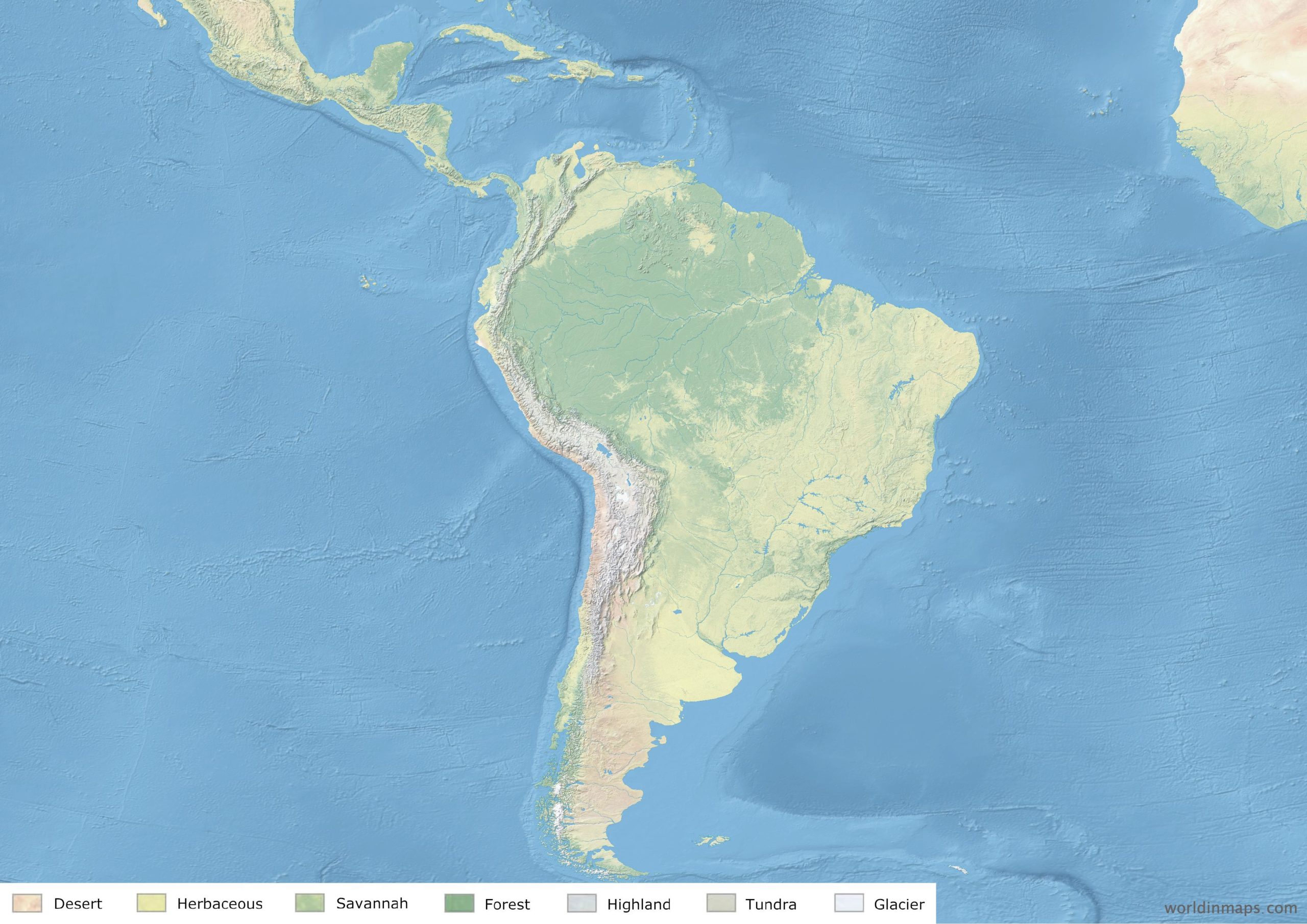
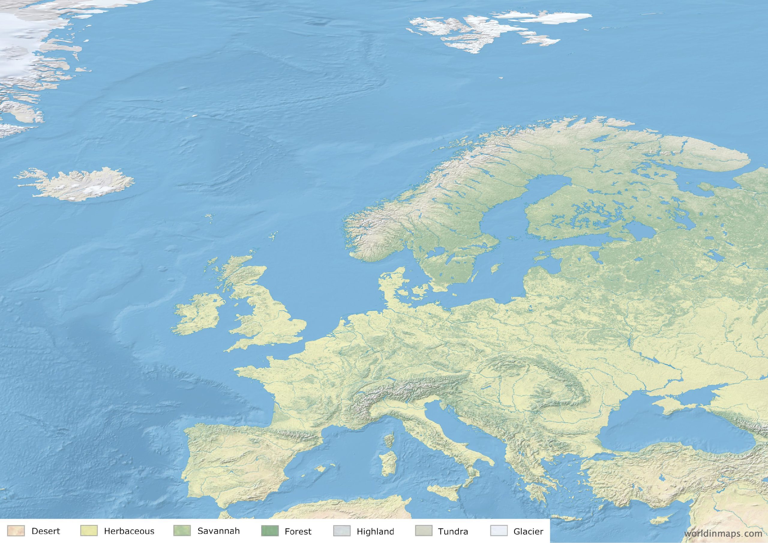
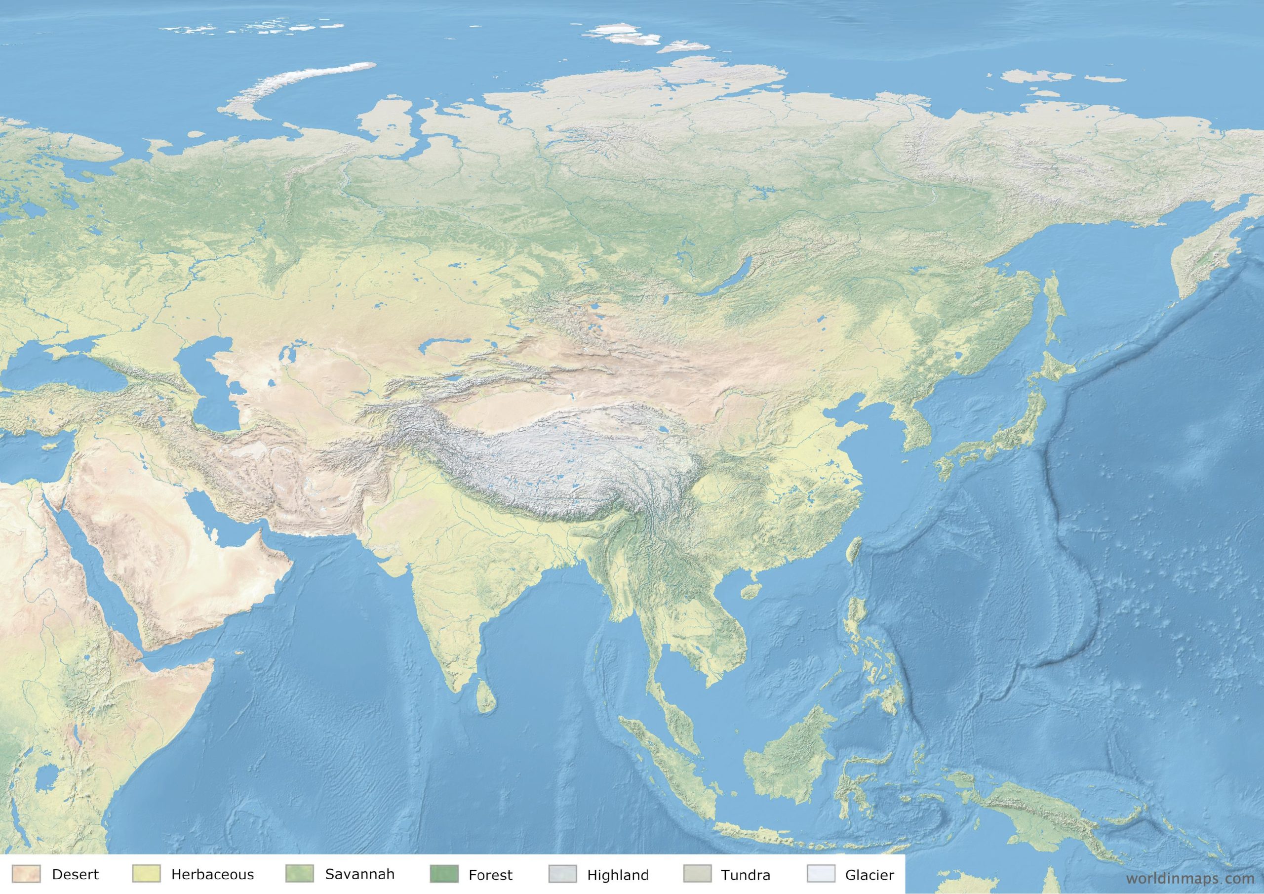
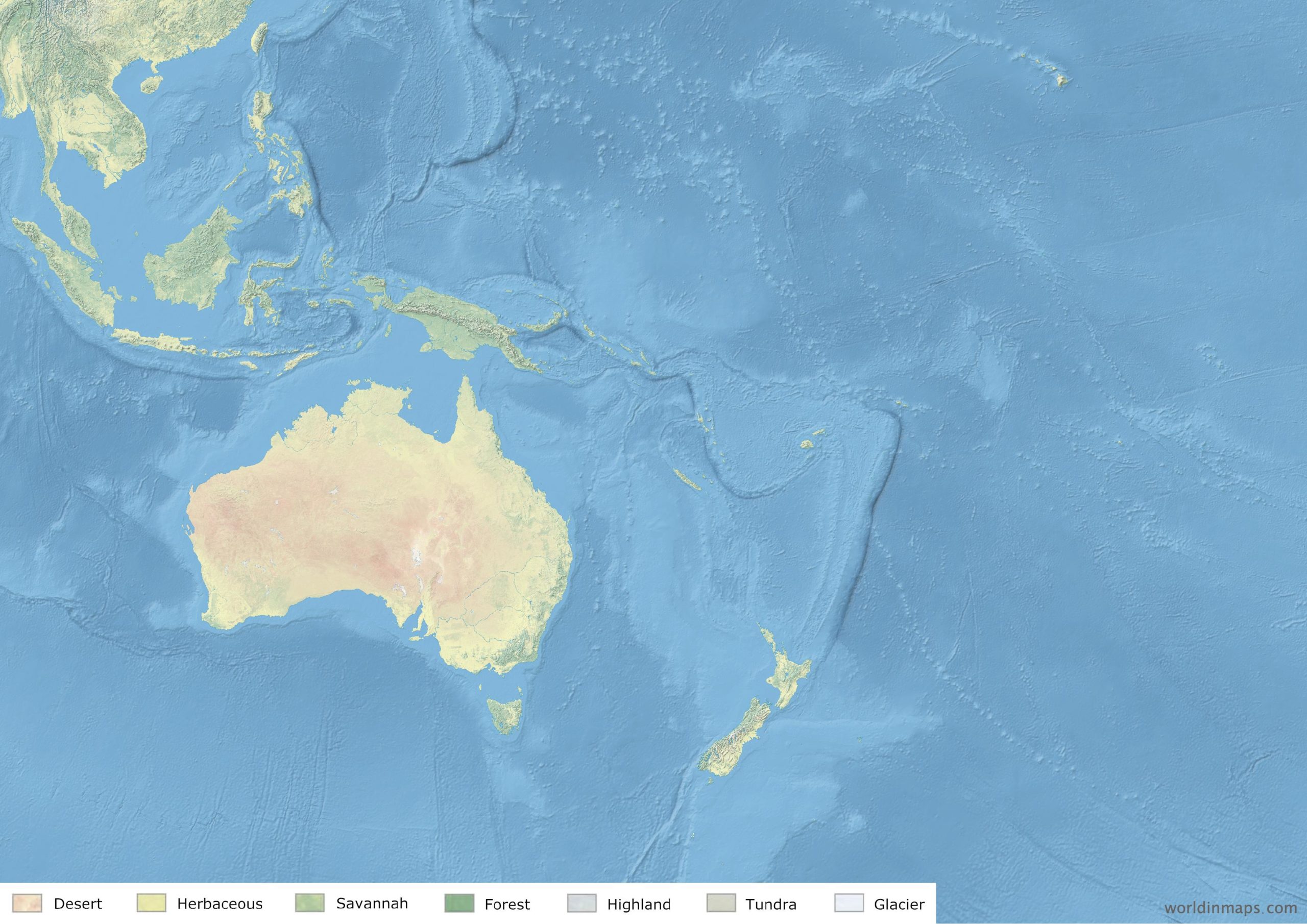
Land cover maps represent different types (classes) of physical coverage of the Earth’s surface, like for example desert, forest, …
The different types of coverage used for our maps are:
- Desert
- Herbaceous
- Savannah
- Forest
- Highland
- Tundra
- Glacier
Main rivers and lakes are also visible on this map.
Land cover maps of continents
North America
South America
Europe
Africa

Asia
Oceania
Land cover map of regions
Middle East
