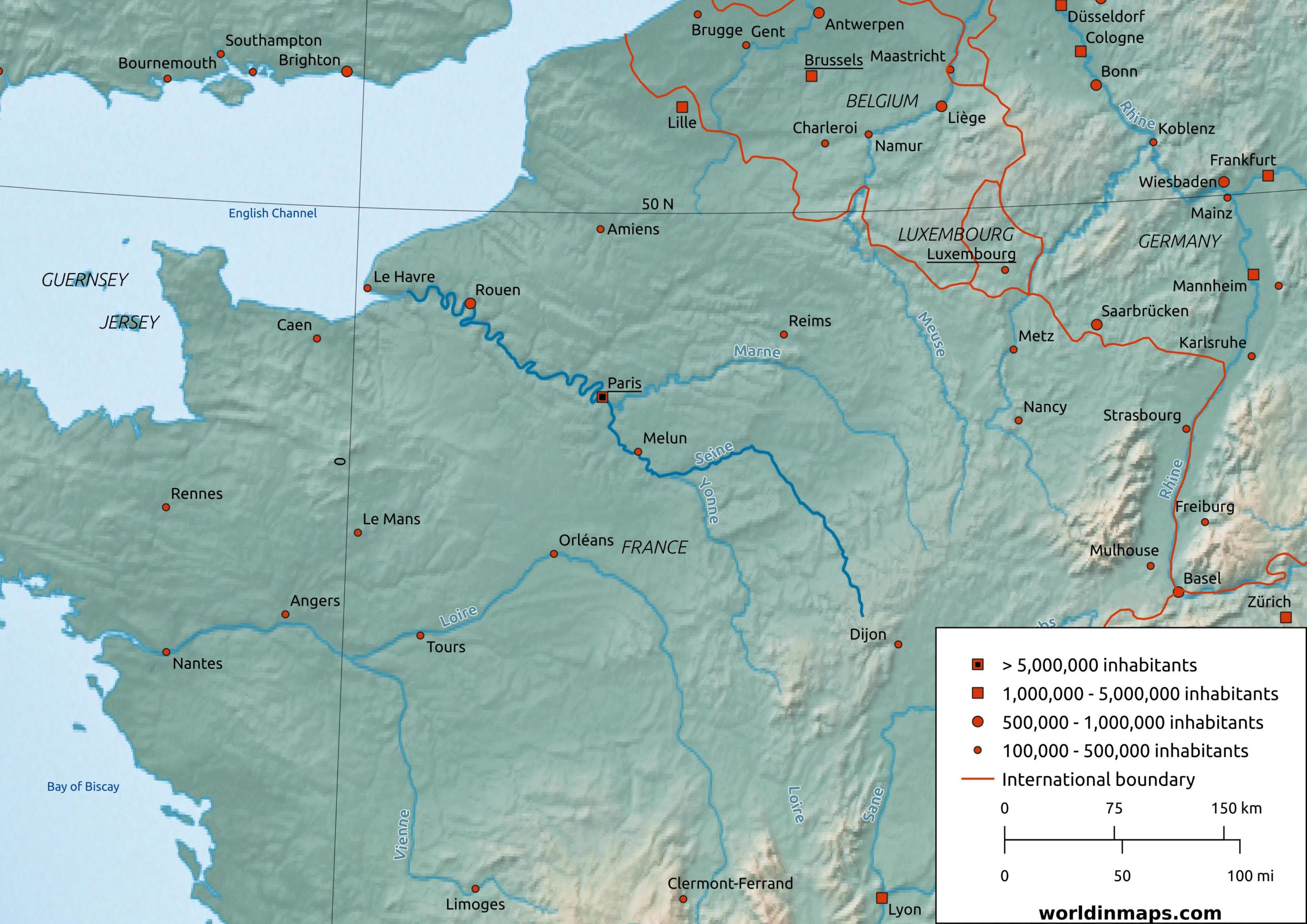
The Seine river
| Location | |
| Country | France |
| Cities | Le Havre, Rouen, Paris, Melun |
| Physical characteristics | |
| Source | |
| Langres Plateau | |
| Location | Source-Seine |
| Elevation | 446 m (1,463 ft) |
| Mouth | |
| Location | The Channel Le Havre / Honfleur |
| Elevation | Sea level |
| Length | 775 km (482 mi) |
| Basin size | 79,000 km² (31,000 sq mi) |
| Discharge | |
| Location | Le Havre / Honfleur |
| Average | 560 m³/s (20,000 cu ft/s) |
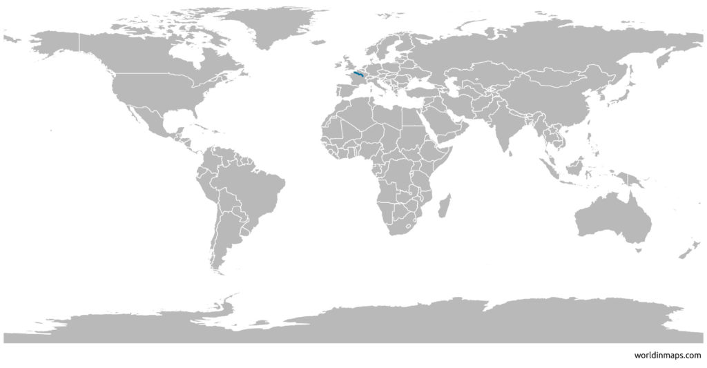
The Seine river is located in the north of France. The river is about 775 km (482 mi) length and it is an important waterway within the Paris Basin. It links Paris with the English Channel (at Le Havre). It is navigable by ocean-going vessels as far as 120 km (75 mi) from the sea (at Rouen).
Seine River map