Continents | Home / 
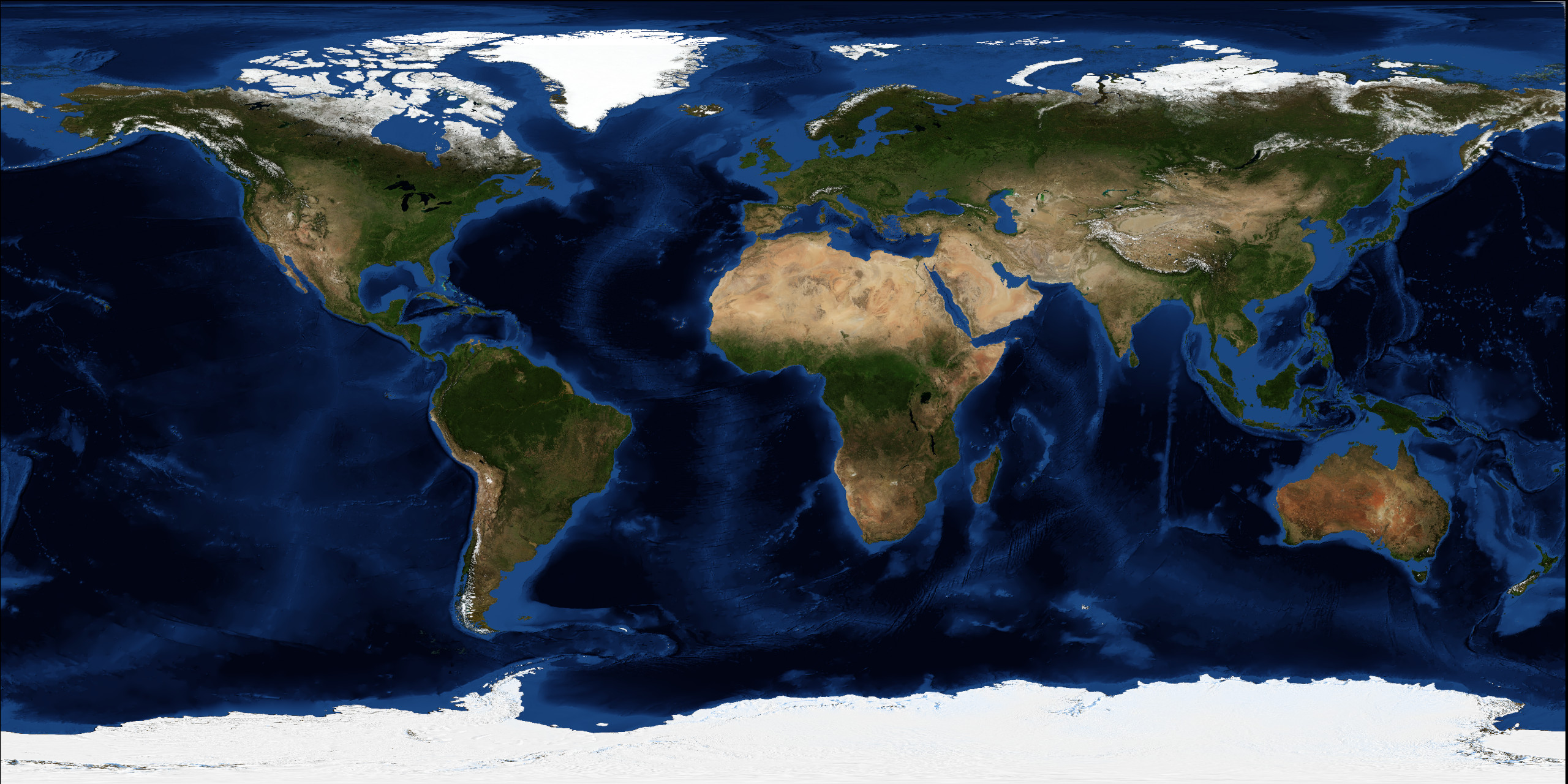
Continents / South America
South America
Geography
Topographic map of South America
Land cover map of South America
Borders
South America is bordered on the west by the Pacific Ocean, on the north and east by the Atlantic Ocean and finally North America and the Caribbean Sea on the northwest.
The border between South America and North America is at the Darién Mountains watershed.
Area
17 840 000 km2 (6,890,000 sq mi)
Population and settlement
Population from 1950 to 2020
CC BY
Source: United Nations, Department of Economic and Social Affairs, Population Division (2019). World Population Prospects 2019, Online Edition. Rev. 1.
Economy
GDP (PPP) (estimate 2019)
Total: $6.92 trillion
Total: $3.64 trillion
Per capita: $8,560
430 759 772 (2020)
21.4/km2 (56.0/sq mi)
South American countries and capitals
Political map of South America
List of countries
Argentina
Capital: Buenos Aires
Population: 44 938 712 (2019)
Area: 2 780 400 km2
Bolivia
Legislative and juridical capital: Sucre Administrative capital: La paz
Population: 11 469 896 (2020)
Area: 1 098 581 km2
Brazil
Capital: Brasília
Population: 210 147 125 (2019)
Area: 8 515 770 km2
Chile
Capital: Santiago
Population: 17 574 003 (2017)
Area : 756 102 km2
Colombia
Capital: Bogotá
Population: 50 372 424 (2020)
Area: 1 138 910 km2
Ecuador
Capital: Quito
Population: 17 084 358 (2018)
Area: 283 561 km2
Guyana
Capital: Georgetown
Population: 786 391 (2018)
Area: 214 969 km2
Paraguay
Capital: Asuncion
Population: 7 252 672 (2020)
Area : 406 752 km2
Peru
Capital: Lima
Population: 32 824 358 (2020)
Area: 1 285 216 km2
Suriname
Capital: Paramaribo
Population: 575 990 (2018)
Area: 163 820 km2
Urugay
Capital: Montevideo
Population: 3 518 552 (2019)
Area: 176 215 km2
Venezuela
Capital: Caracas
Population: 28 887 118 (2018)
Area : 912 050 km2