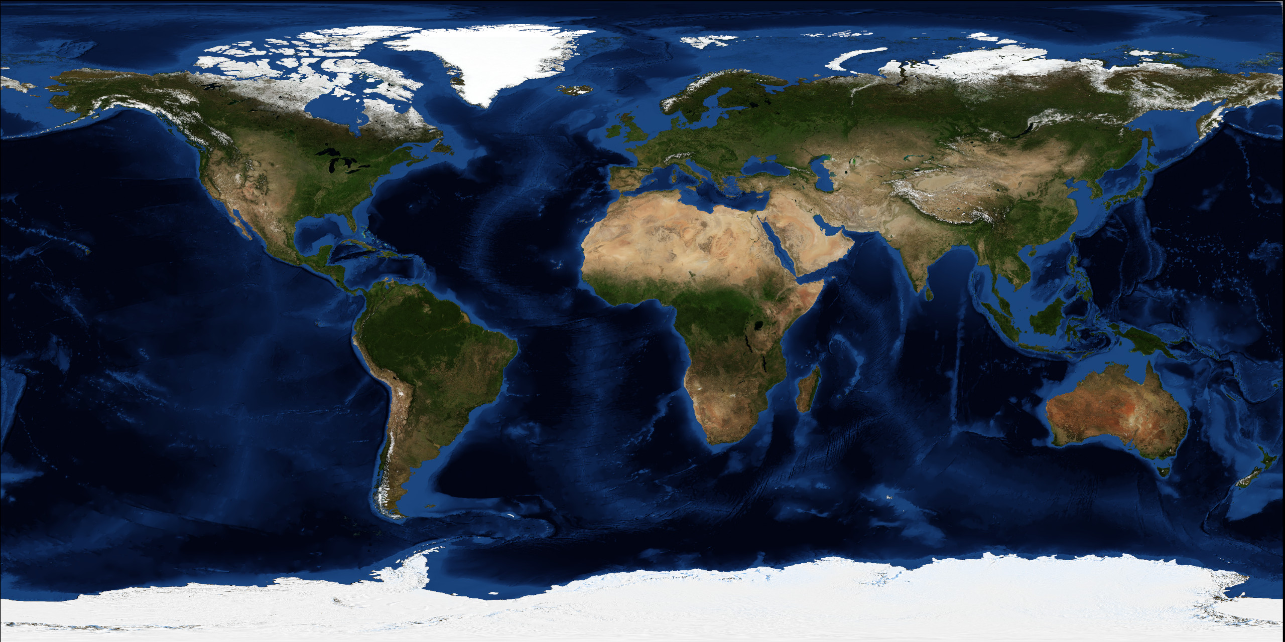
Continents / Asia / Physical
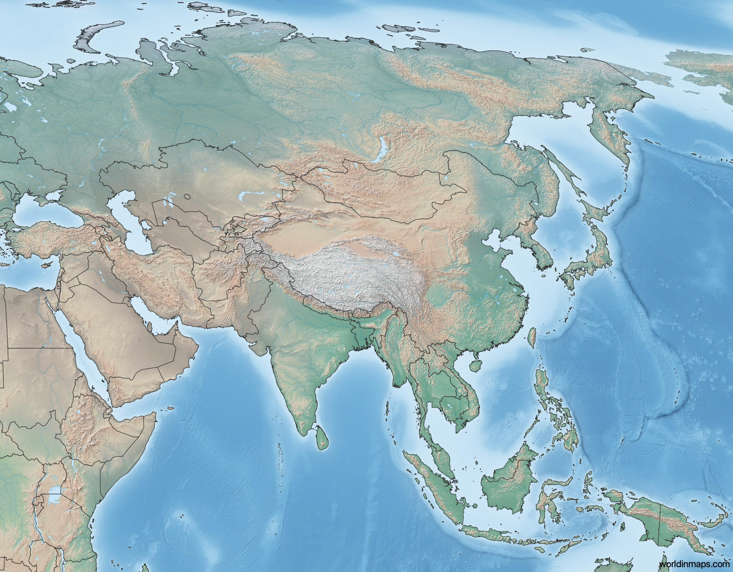
Topographic map of Asia
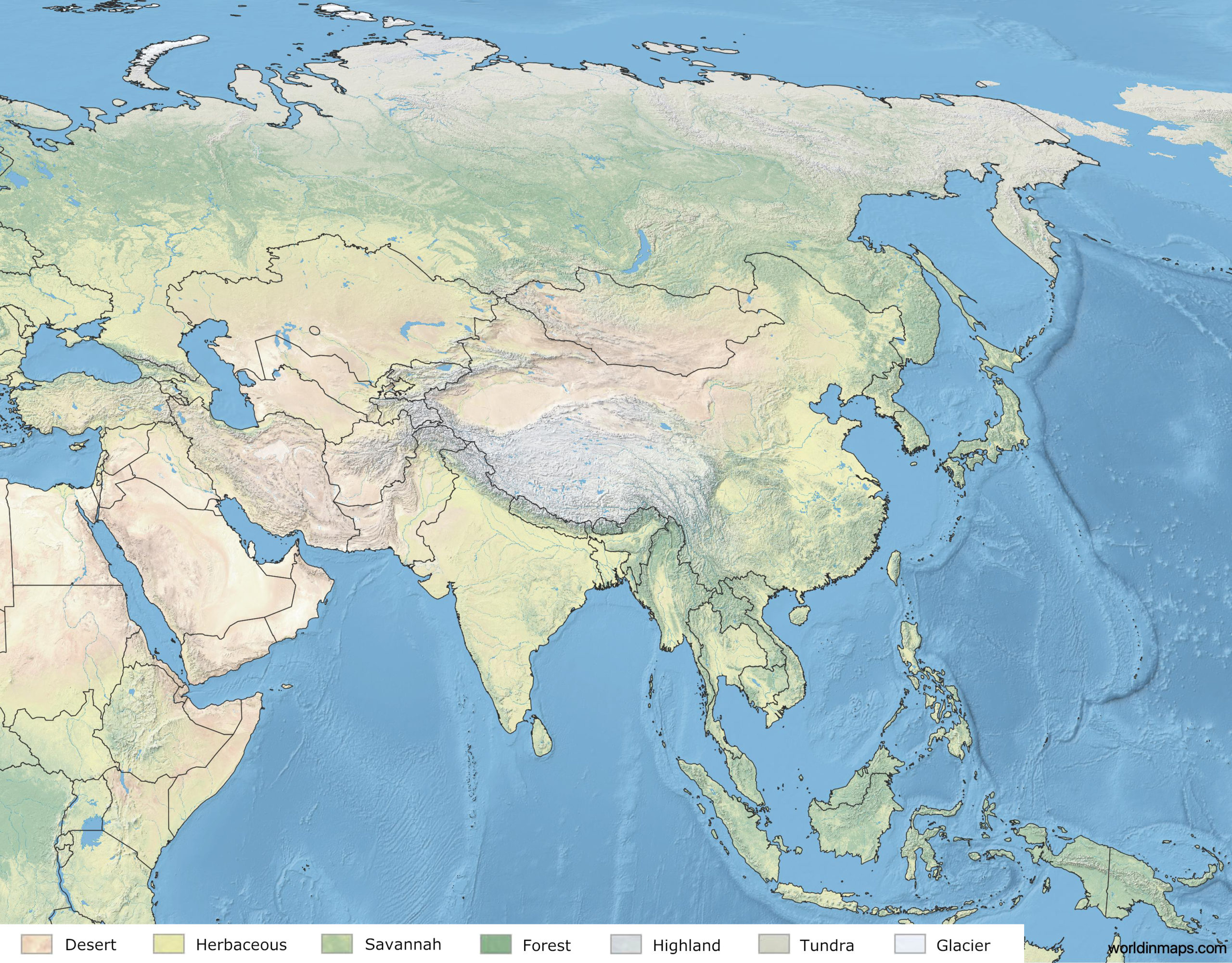
Land cover map of Asia
Borders
Asia is bordered on east by the Pacific Ocean, on the south by the Indian Ocean and on the North by the Arctic Ocean. The border between Europe and Asia is commonly considered to be the watershed of the Ural Mountains, the Ural River, the Caspian Sea, the Greater Caucasus, the Black Sea and the Turkish Straits. Finally, the Suez Canal makes the boundary between Africa and Asia.
Area
44,579,000 km2 (17,212,000 sq mi)
Major rivers in Asia
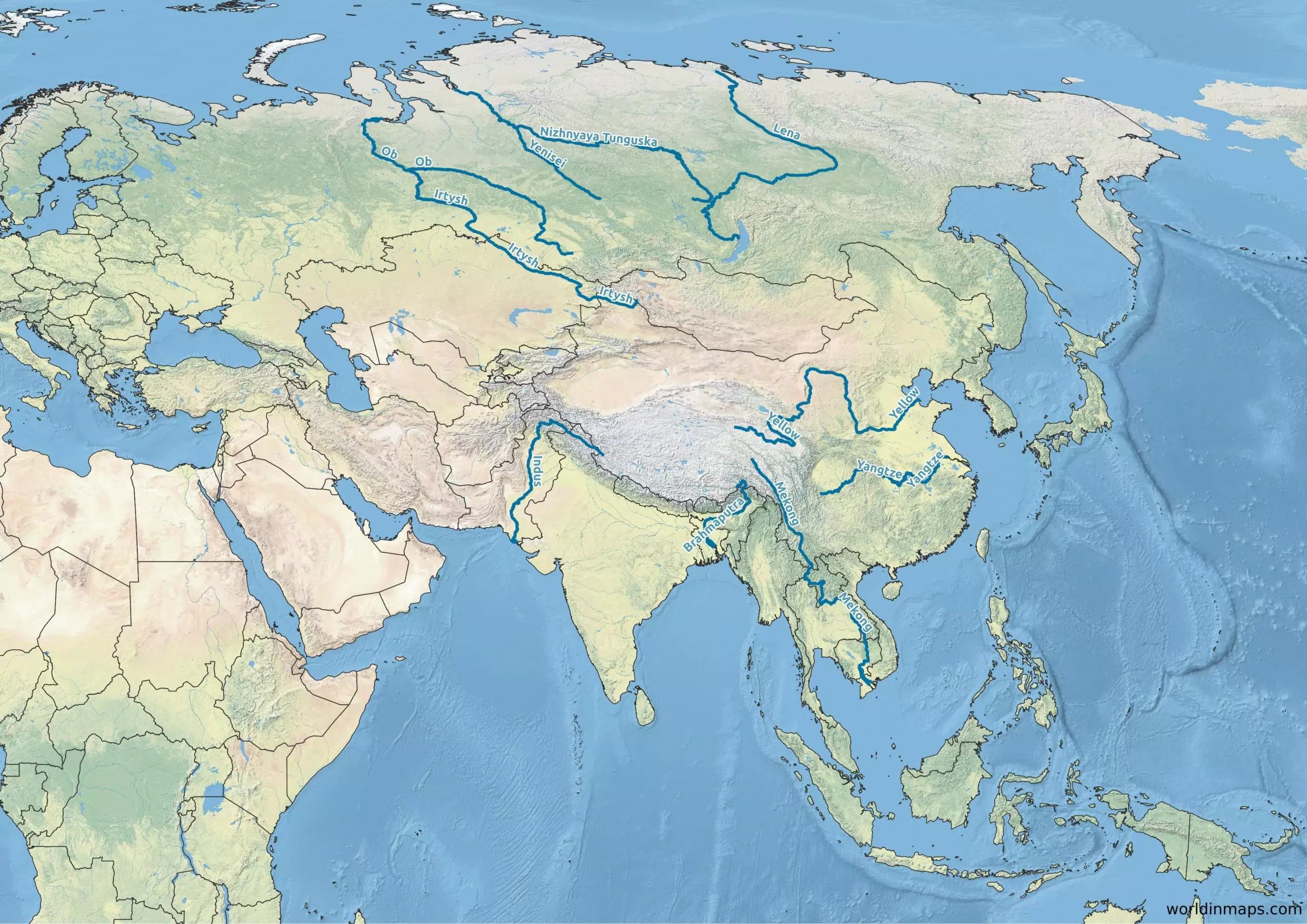
List of the major rivers of Asia with their length:
- Yangtze (6,300 km / 3,915 mi)
- Yellow River (5,464 km / 3,395 mi)
- Mekong (4,350 km / 2,700 mi)
- Lena River (4,294 km / 2,668 mi)
- Irtysh River (4,248 km / 2,640 mi)
- Brahmaputra River (3,848 km / 2,391 mi)
- Ob (3,650 km / 2,268 mi)
- Indus River (3,610 km / 2,243 mi)
- Yenisey (3,487 km / 2,167 mi)
- Nizhnyaya Tunguska (2,989 km / 1,857 mi)