Bays | Home / Bays / Bay of Bengal
Bay of Bengal
The Bay of Bengal is a sea in the northeast of the Indian Ocean and it is the largest bay in the world in terms of the area. This area was for long only considered for its poverty, natural disasters and political instabilities, but recently it has become a strategic and economic important region.
Table of contents
- Where is the Bay of the Bengal located?
- The map of the Bay of Bengal map
- Key features
- Why is the Bay of Bengal important?
- Major Rivers
- Weather and Climate
Where is the Bay of Bengal located?
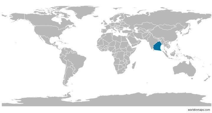
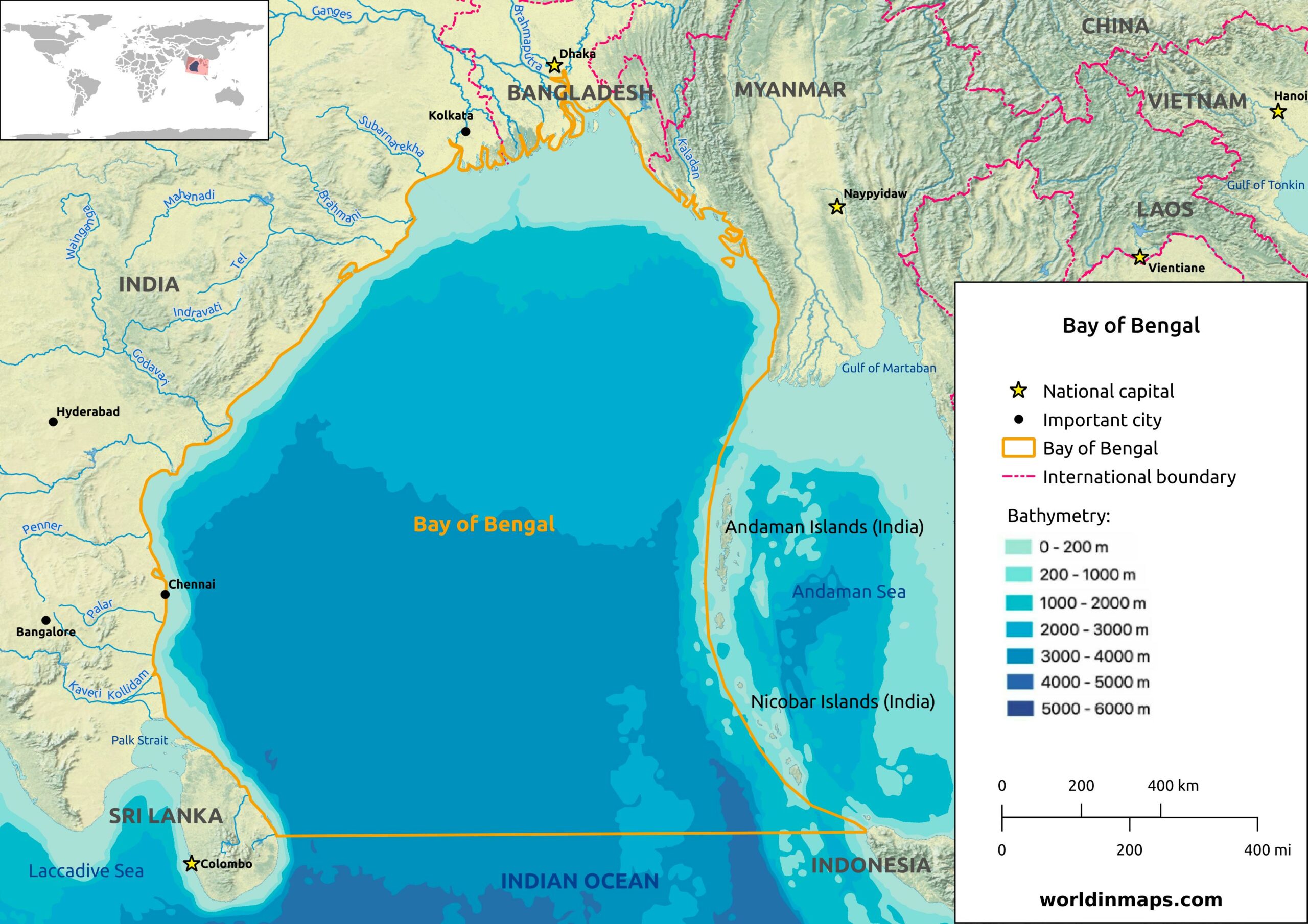
The Bay of Bengal is located in the northeast of the Indian Ocean. It is bordered on the east by Myanmar and the Andaman and Nicobar Islands of India, on the north by Bangladesh, on the northwest and the west by India. The South is limited by Sri Lanka and by the north westernmost point of the island of Sumatra (Indonesia).
The map of the Bay of Bengal
Key features
The key geographical features of the Bay of Bengal are:
- Maximum length: 2 090 km (1,300 mi)
- Maximum width: 1 610 km (1,000 mi)
- Area: 2 600 000 km² (1,000,000 sq mi)
- Average depth: 2 600 m (8,500 ft)
- Maximum depth: 4 694 m (15,400 ft)
Why is the Bay of Bengal important?
In the past this region was not a geopolitical region of interest by developed countries because countries in this region of the world have missed out on the great economic boom experienced by the East Asian tigers during the latter part of the 2Oth century. Indeed, this region was more known for its poverty, natural disasters and political instability.
This region gained importance these last years and it may even become a new center of economic development in Asia. Indeed, the largest bay of the world host a huge population and the countries around the Bay of Bengal are experiencing high economic growth rates. Furthermore, China is also pushing for the development of this region for its nearby landlocked southern provinces. The bay is also crossed by some of the world’s most important trading routes. All these factors make it a major area of economic and strategic interest.
The region is also of geostrategic importance because it is located between the two huge economic blocks: the South Asian Association for Regional Cooperation (SAARC) and the Association of Southeast Asian Nations (ASEAN).
Major Rivers
Many major rivers flow into the Bay of Bengal. In the north, the mouths of the Ganges and the Brahmaputra rivers form the greatest delta of the world.
List of major rivers flowing into the bay of Bengal:
- Brahmani
- Brahmaputra
- Ganges
- Godavari
- Kaladan
- Kaveri
- Kollidam
- Krishna
- Mahanadi
- Meghna-Surma-Bara River System
- Palar
- Pennar
- Subarnarekha
Weather and Climate
The climate of the Bay of Bengal is dominated by the monsoons. The winter season is characterized by northeast winds (the northeast monsoon). During the summer, rainy southwest winds prevail.
The region is also affected by cyclones during spring and fall. An important Cyclone has hit Bangladesh in November 1970 with as result a totally destroyed coastal region. To protect this region, coastal polders were built.