Continents / Oceania / Physical
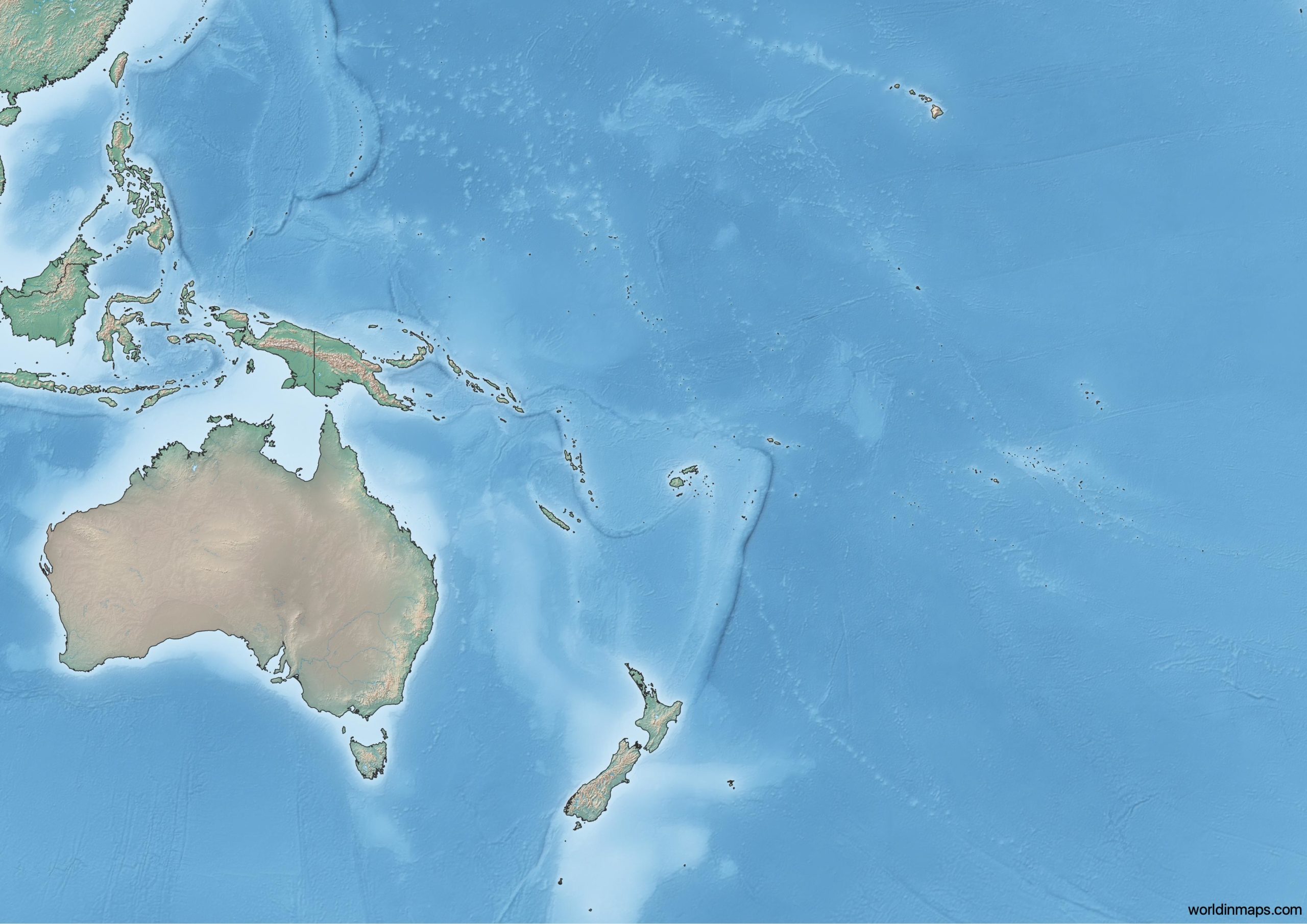
Topographic map of Oceania
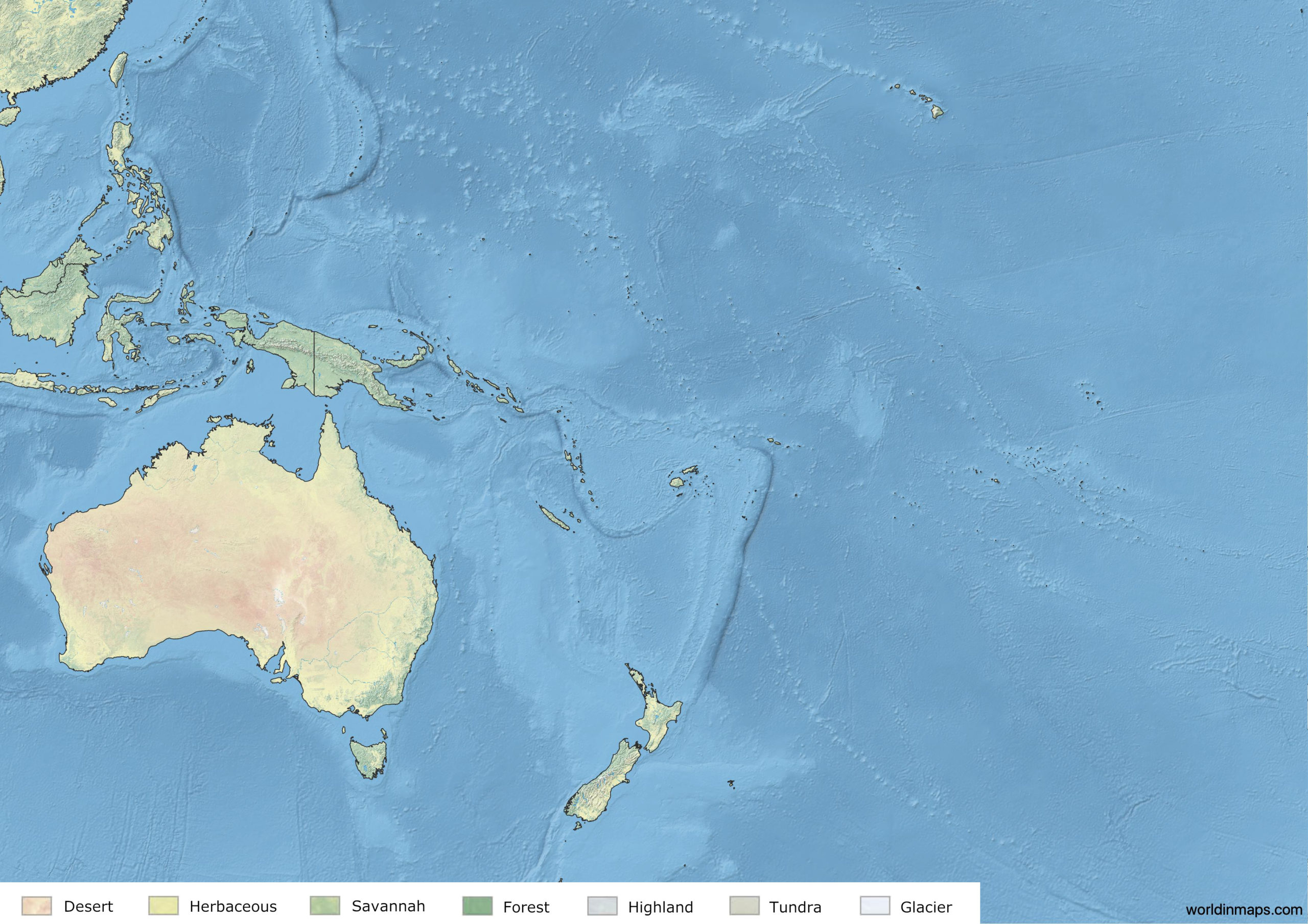
Land cover map of Oceania
Borders
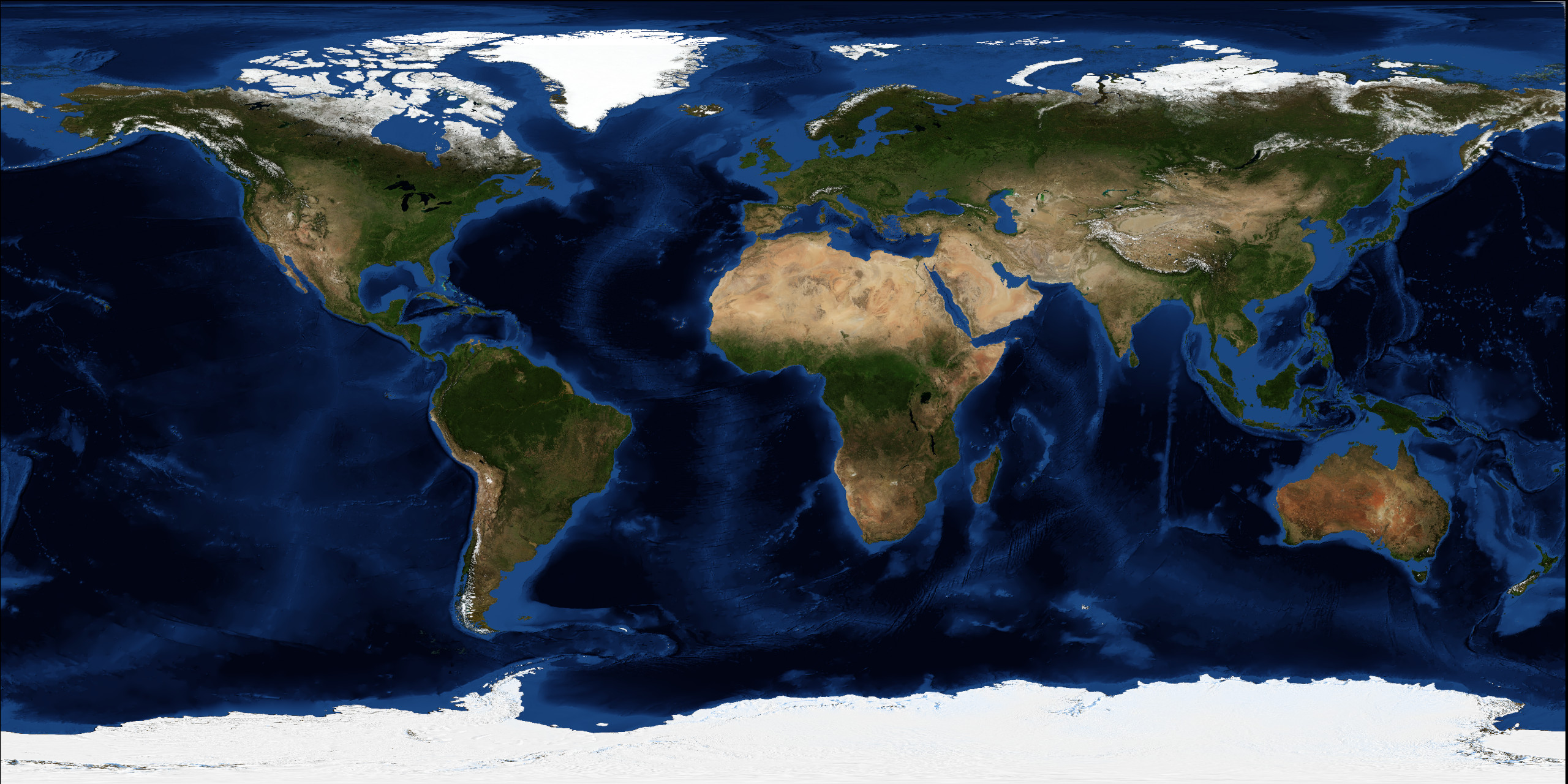
The Oceanian continent is made up of thousands of islands throughout the Central South Pacific Ocean.
Oceania extends from New Guinea in the west, the Bonin Islands in the northwest, the Hawaiian Islands in the northeast, Rapa Nui and Sala y Gómez Island in the east and Macquarie Island in the south.
Oceania comprised traditionally four regions: Autralasia (Australia and New Zealand), Melanesia, Micronesia and Polynesia.
Area
8 525 989 km2 (3 291 903 sq mi)