Rivers / Ohio
Ohio River location on the world map
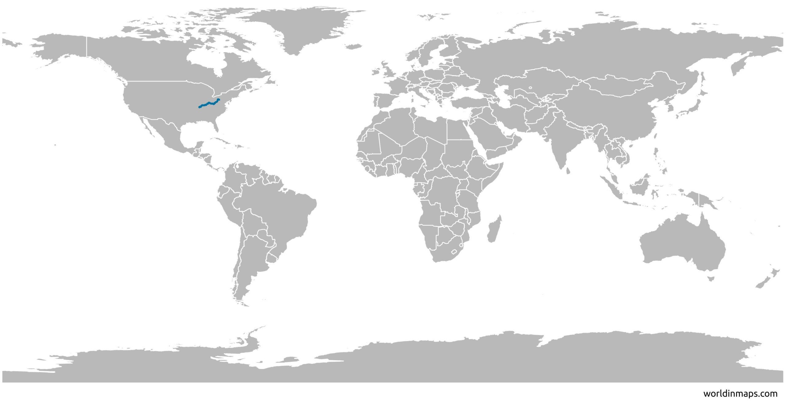
The Ohio is located in the Southern and Midwestern of the United States. The river flows through or along the border of 6 states: Pennsylvania, Ohio, West Virginia, Kentucky, Indiana and Illinois. And its drainage basin includes parts of 14 states.
The Ohio River is the third largest river by discharge volume in the U.S. and the largest tributary by volume of the Mississippi.
The Ohio river is also the source of drinking water for more than three million people.
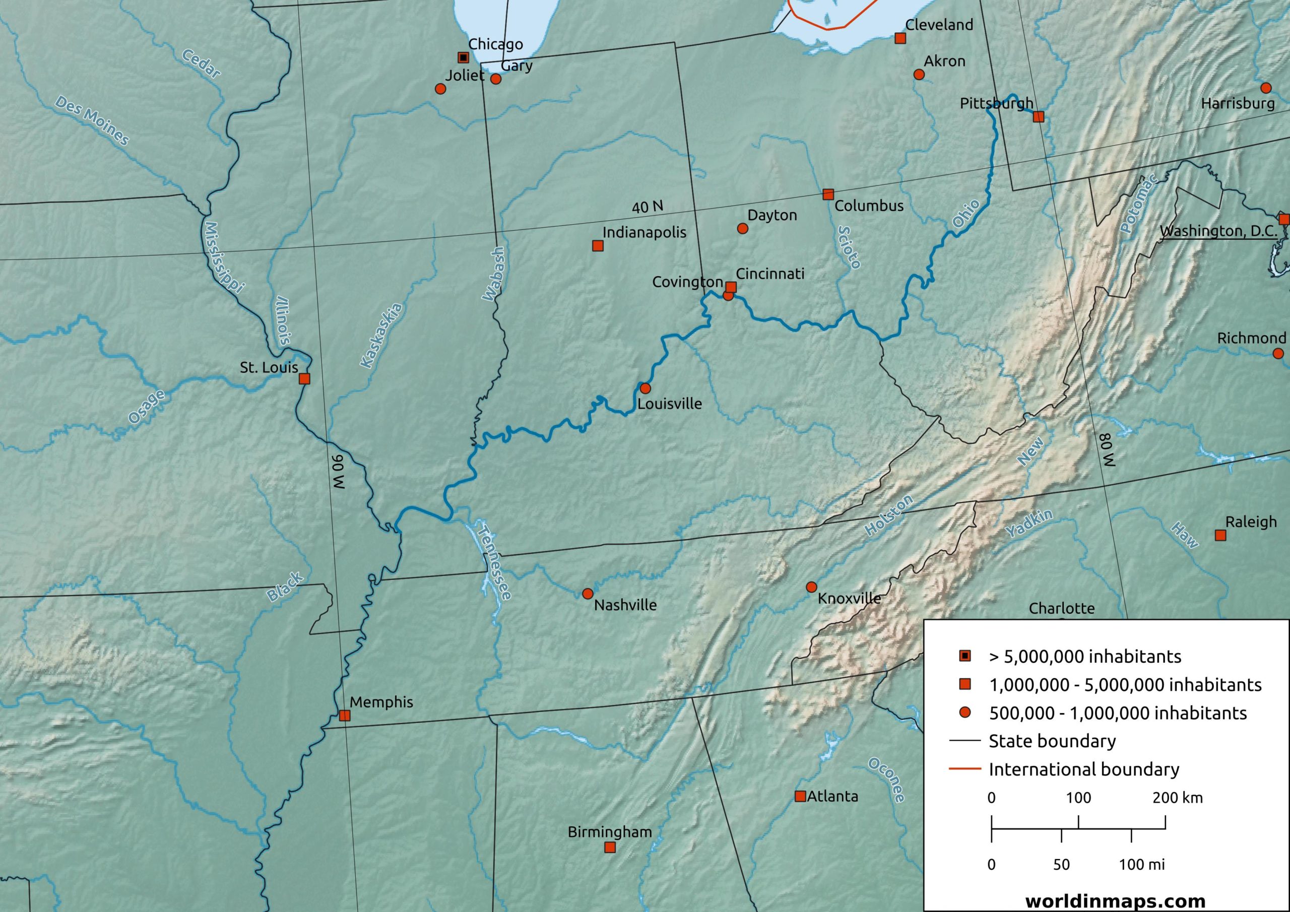
Ohio River map
| Location | |
| Country | U.S. |
| States | Pennsylvania, Ohio, West Virginia, Kentucky, Indiana, Illinois |
| Cities | Pittsburgh, PA Cincinnati, OH Louisville, KY |
| Physical characteristics | |
| Sources | |
| Allegheny River | |
| Location | Allegany Township, PA |
| Elevation | 680 m (2,240 ft) |
| Monongahela River | |
| Location | Fairmont, WV |
| Elevation | 270 m (880 ft) |
| Mouth | |
| Location | Mississippi River Cairo, IL |
| Elevation | 88 m (290ft) |
| Length | 1,579 km (981 mi) |
| Basin size | 490,600 km² (189,422 sq mi) |
| Discharge | |
| Location | Cairo, IL |
| Average | 8,000 m³/s (281,000 cu ft/s) |
| Maximum | 52,000 m³/s (1,850,000 cu ft/s) |