Regions / Horn of Africa
Introduction
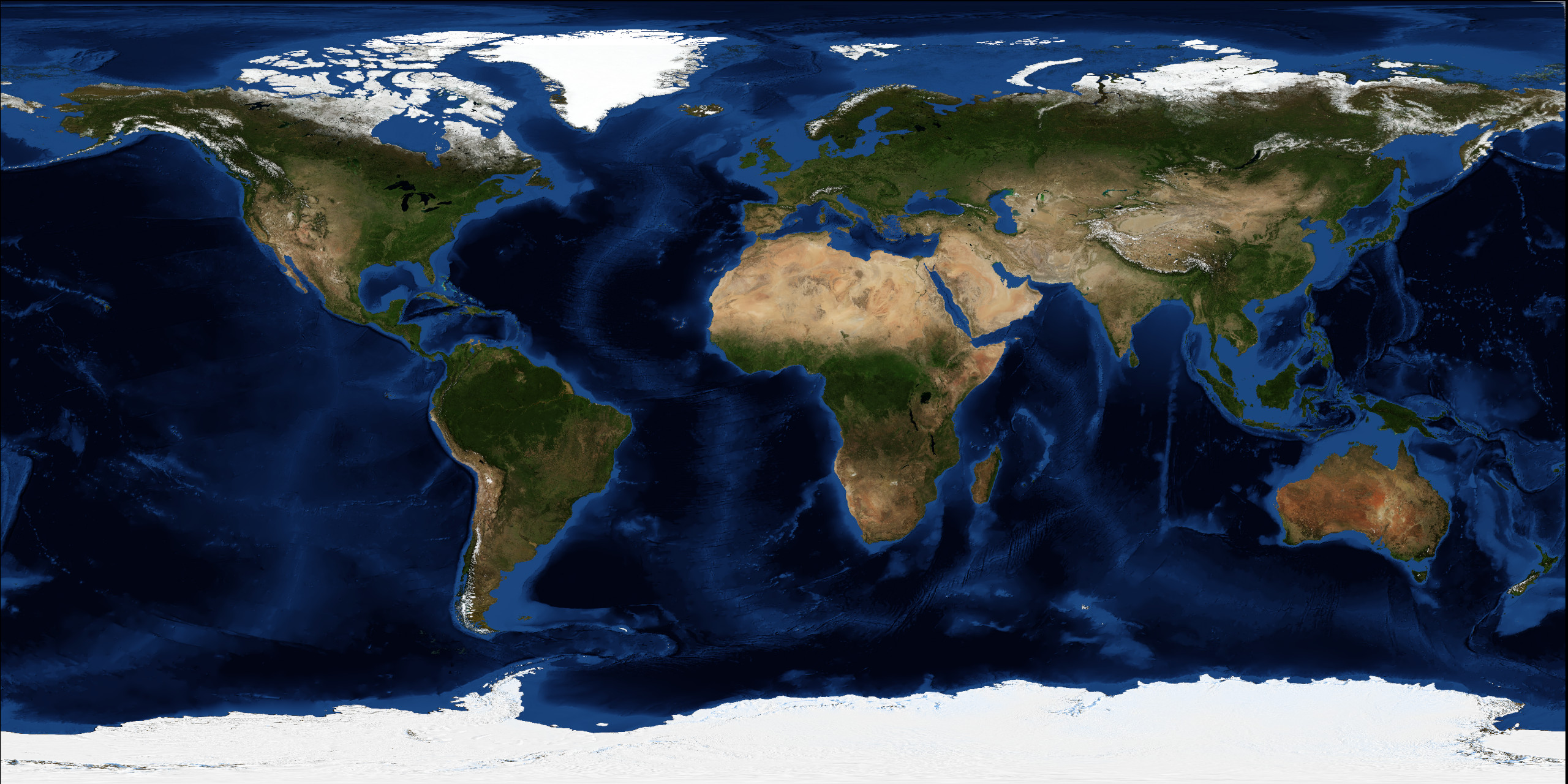
The Horn of Africa is a peninsula in Africa located on the east side of Africa, along the southern side of the Red Sea. Its name comes from the rhinoceros horn shape.
The Horn of Africa denotes the region containing the countries of Djibouti, Eritrea, Ethiopia, Somalia and Somaliland (not recognized state – part of Somalia).
Population
Population: 122,618,170 (2016)
Density of population: 65.1/km2 (168.7/sq mi)
Geography
Area: 1,882,757 km2 (726,936 sq mi)
Horn of Africa map
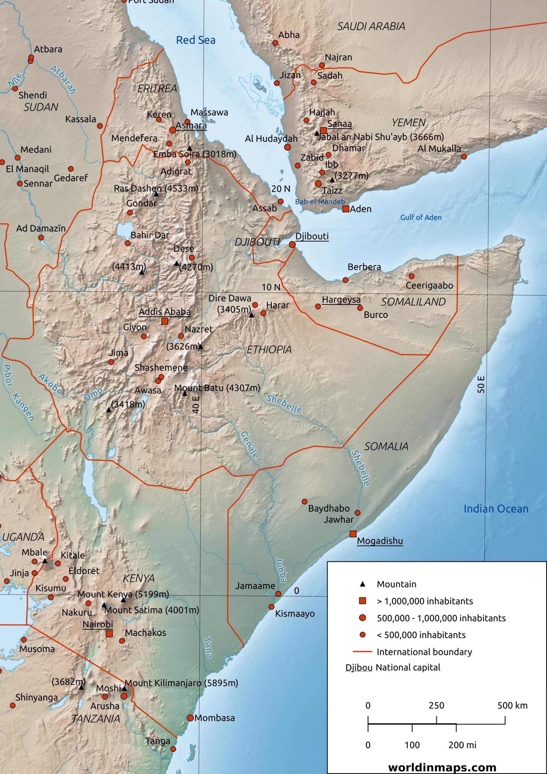
Horn of Africa nation
| Flag | Country name | Capital | Population | Area |
|---|---|---|---|---|
 | Djibouti | Djibouti | 1,078,373 (2019) | 23,200 km2 |
 | Eritrea | Asmara | 6,081,196 (2020) | 117,600 km2 |
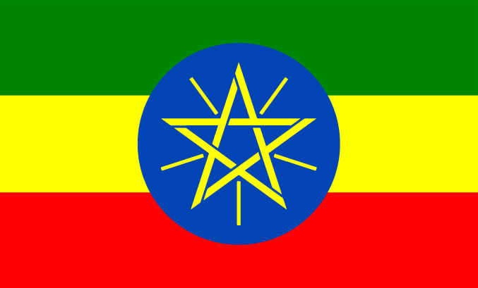 | Ethiopia | Addis Ababa | 109,224,414 (2018) | 1,104,300 km2 |
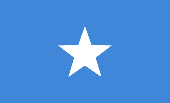 | Somalia | Mogadishu | 15,893,219 (2020) | 637,657 km2 |