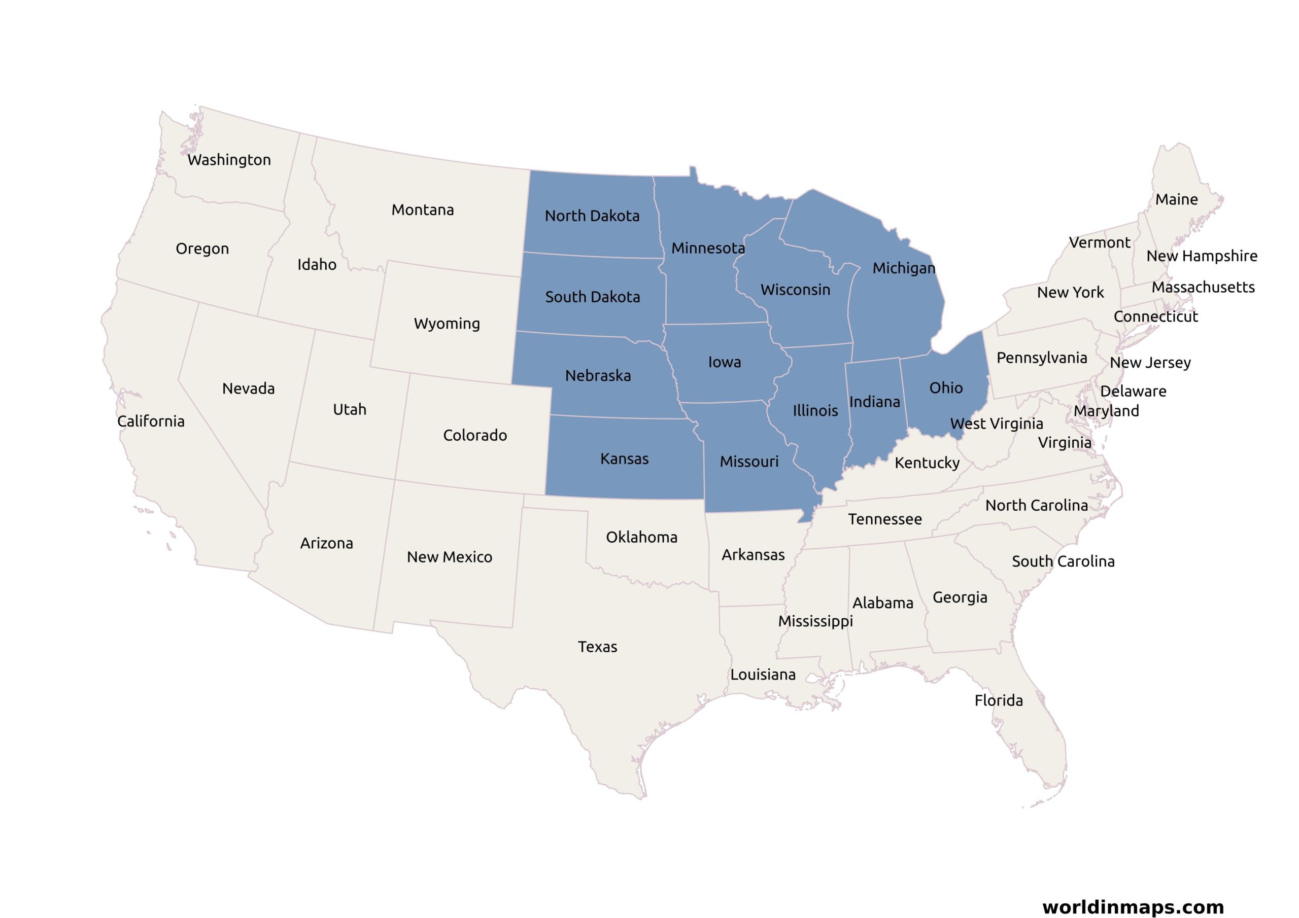
Regions / Midwest (Midwestern United States)
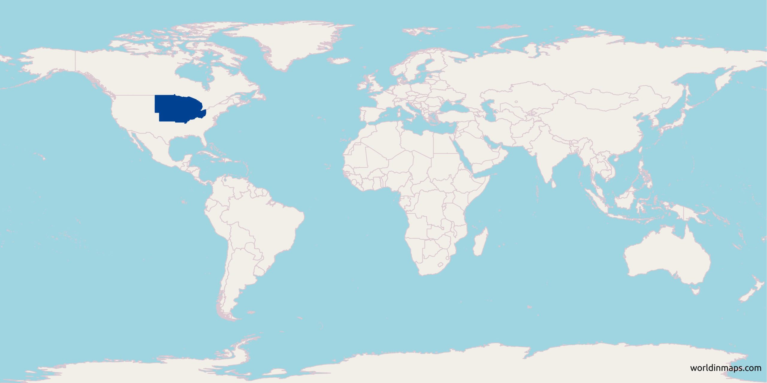
Location on the world map
The Midwestern United States, or more commonly the Midwest, is one of the four census regions of the United States Census Bureau and it refers the northern central part of the United States.
The Midwest consists 12 states: Illinois, Indiana, Iowa, Kansas, Michigan, Minnesota, Missouri, Nebraska, North Dakota, Ohio, South Dakota and Wisconsin.
Population
| Population | |
| Population | 68,179,351 (2017) |
| Density of population | 35/km2 (91/sq mi) |
| Geography | |
| Area | 1,943,843 km2 (750,522 sq mi) |
The midwest states
| State | Capital | Population (2017) | Area | Density |
|---|---|---|---|---|
| Illinois | Springfield | 12,802,023 | 143,793.3 km2 (55,518.89 sq mi) | 89/km2 (231/sq mi) |
| Indiana | Indianapolis | 6,666,818 | 92,789.1 km2 (35,826.08 sq mi ) | 72/km2 (186/sq mi) |
| Iowa | Des Moines | 3,145,711 | 144,669.2 km2 (55,857.09 sq mi) | 22/km2 (56/sq mi) |
| Kansas | Topeka | 2,913,123 | 211,753.9 km2 (81,758.65 sq mi) | 14/km2 (36/sq mi) |
| Michigan | Lansing | 9,962,311 | 146,435.0 km2 (56,538.86 sq mi) | 68/km2 (176/sq mi) |
| Minnesota | Saint Paul | 5,576,606 | 206,232.2 km2 (79,626.68 sq mi) | 27/km2 (70/sq mi) |
| Missouri | Jefferson City | 6,113,532 | 178,039.6 km2 (68,741.47 sq mi) | 34/km2 (89/sq mi) |
| Nebraska | Lincoln | 1,920,076 | 198,973.5 km2 (76,824.11 sq mi) | 10/km2 (25/sq mi) |
| North Dakota | Bismarck | 755,393 | 178,711.1 km2 (69,000.74 sq mi) | 4/km2 (11/sq mi) |
| Ohio | Columbus | 11,658,609 | 105,828.6 km2 ( 40,860.66 sq mi) | 110/km2 (285/sq mi) |
| South Dakota | Pierre | 869,666 | 196,349.4 km2 (75,810.94 sq mi) | 4/km2 (11/sq mi) |
| Wisconsin | Madison | 5,795,483 | 140,268.0 km2 (54,157.76 sq mi) | 41/km (107/sq mi) |
Map of the Midwest region

Major Rivers
- The Mississippi River
- The Ohio River
- The Missouri River
- The Des Moines River
- Platte River