Rivers / Volga
Location on the world map
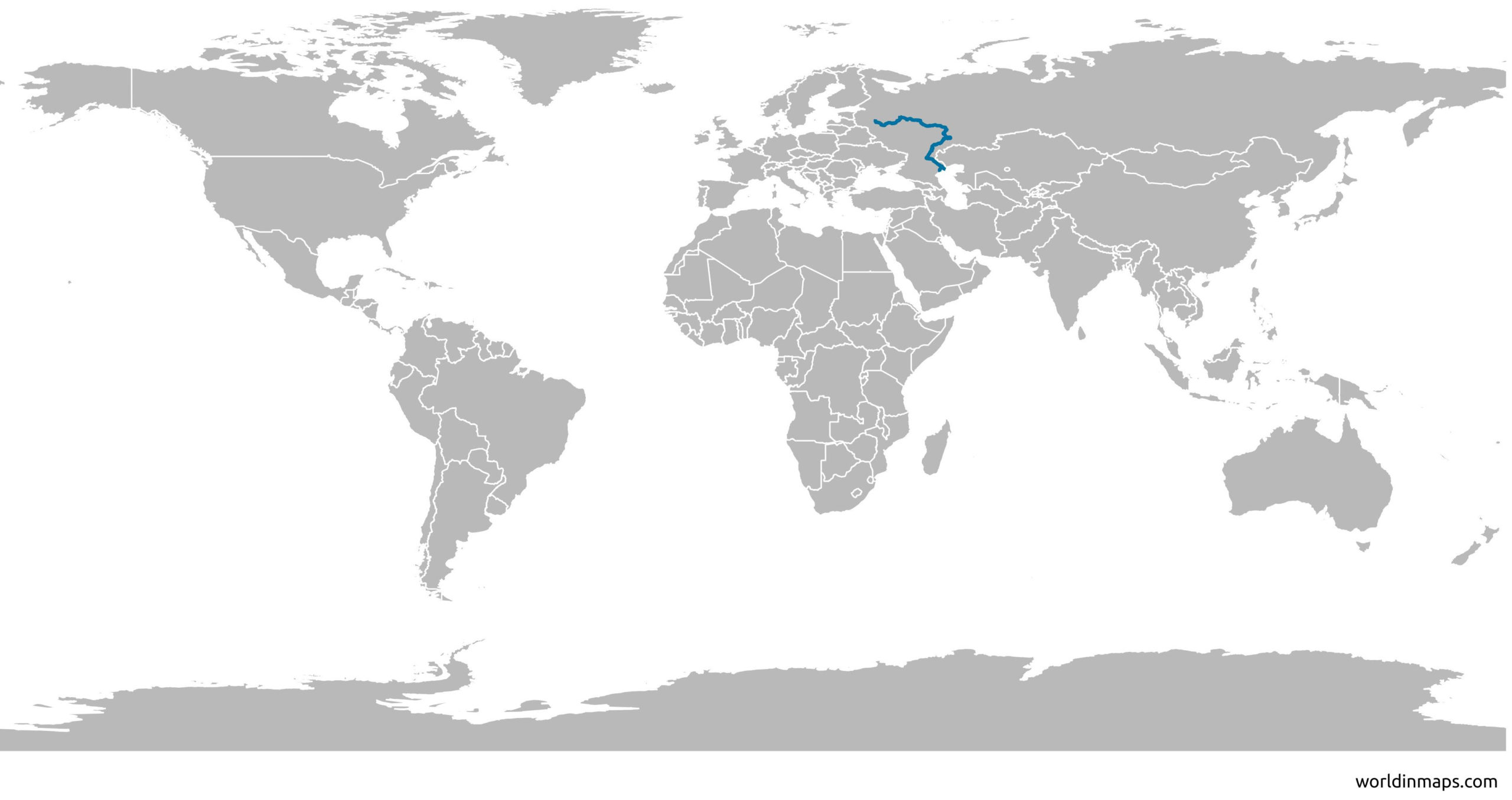
Russia from its source in the Valdai Hills to the Caspian Sea. It has a length of 3,531 (2,194 mi) and a catchment area of 1,360,000 km² (530,000 sq mi). It is also the Europe’s largest river in terms of discharge and drainage basin.
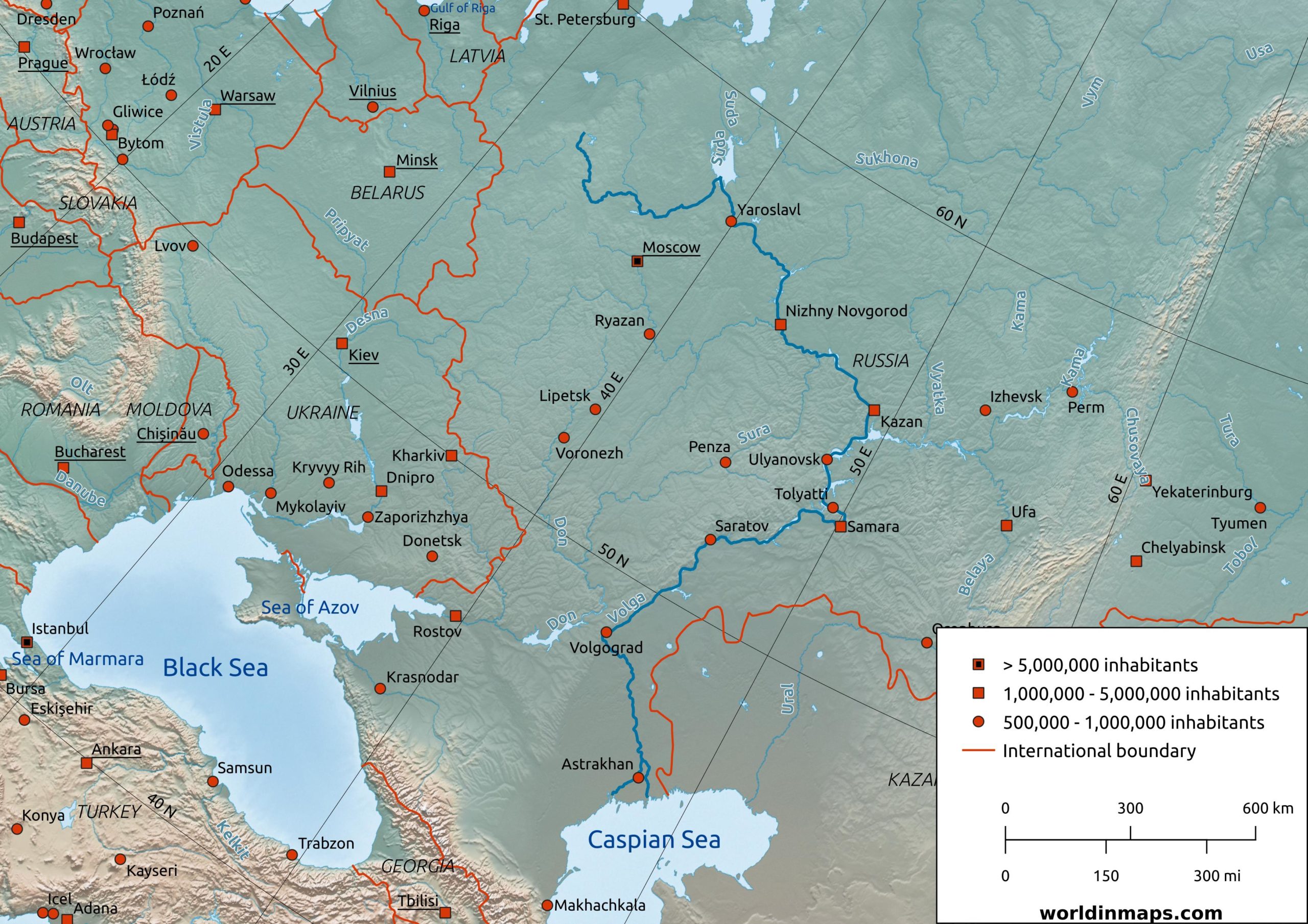
Volga River map
Key facts
| Location | |
| Country | Russia |
| Cities | Tver, Yaroslavl, Nizhny Novgorod, Cheboksary, Kazan, Ulyanovsk, Samara, Saratov, Volgograd, Astrakhan |
| Physical characteristics | |
| Source | |
| Location | Valdai Hills |
| Elevation | 228 m (748 ft) |
| Mouth | |
| Location | Caspian sea Astrakhan Oblast |
| Elevation | -28 m (-92 ft) |
| Length | 3,531 km (2,194 mi) |
| Basin size | 1,360,000 km² (530,000 sq mi) |
| Discharge | |
| Location | Astrakhan |
| Average | 8,060 m³/s (285,000 cu ft/s) |