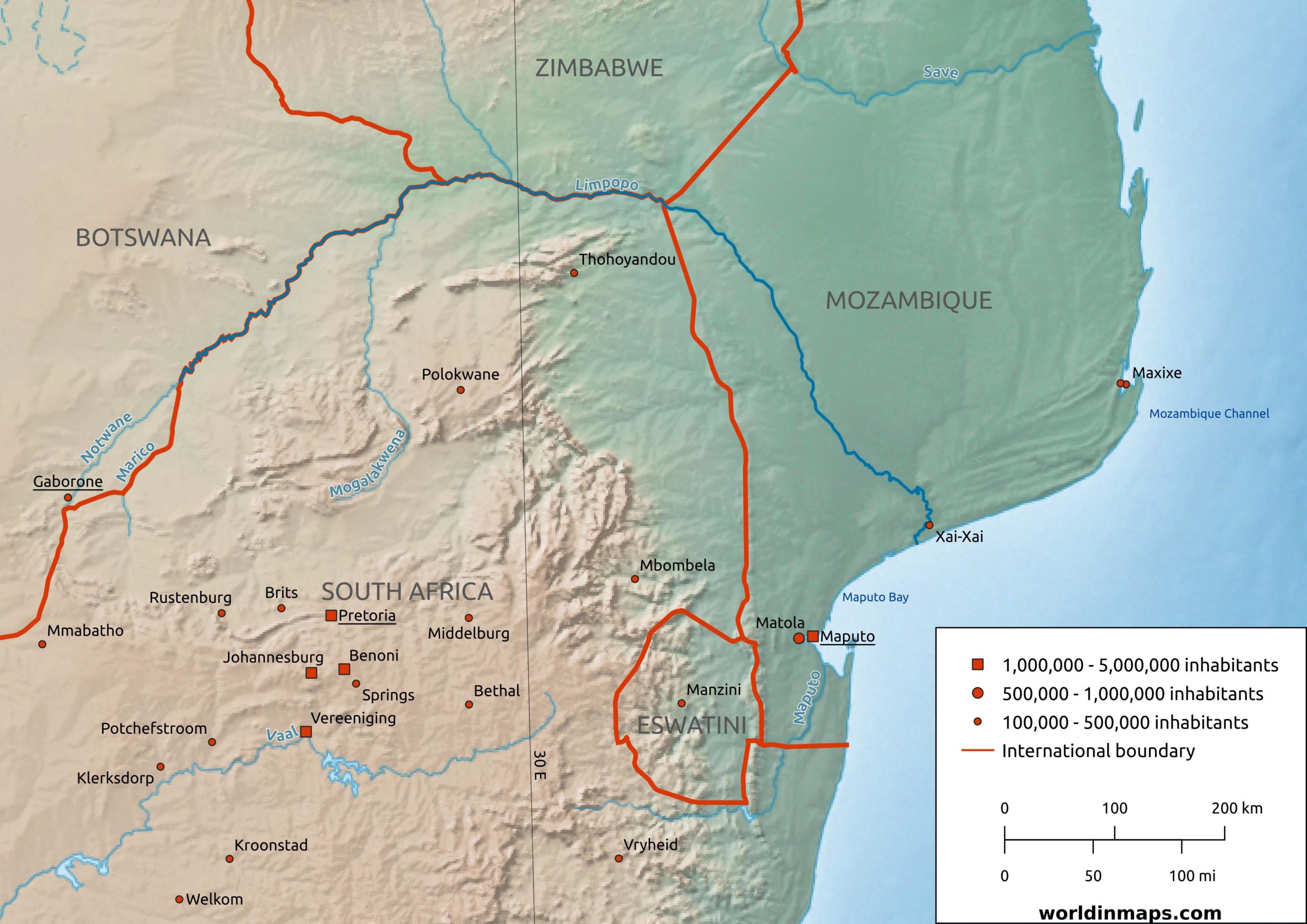
The Limpopo river
| Location | |
| Countries | South Africa Botswana Zimbabwe Mozambique |
| Cities | Xai-Xai (Mozambique) |
| Physical characteristics | |
| Source | |
| Location | Confluence of the Marico and Crocodile rivers (Botswana/South Africa border) |
| Elevation | 872 m (2,861 ft) |
| Mouth – Indian Ocean | |
| Location | Gaza Province (Mozambique) |
| Elevation | 0 m (0 ft) |
| Length | 1,700 km (1,100 mi) |
| Basin size | 412,000 km2 (160,000 sq mi) |
| Discharge | |
| Average | 170 m3/s (6,000 cu ft/s) |
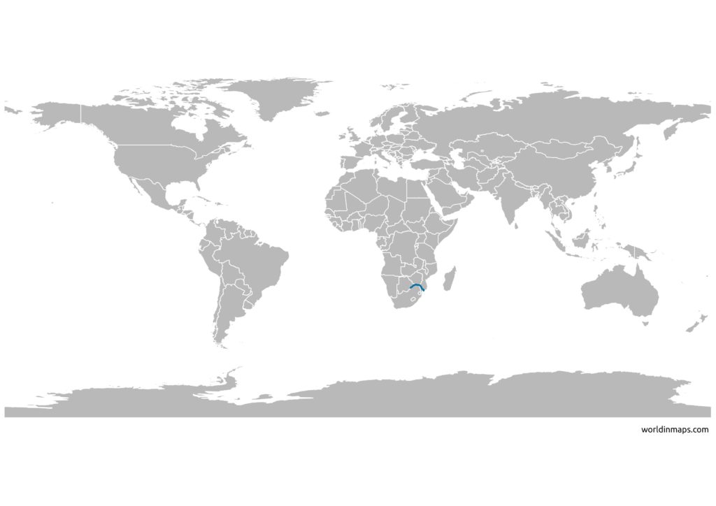
The Limpopo river is 1,700 km (1,100 mi) long. It is located in southern Africa and it is a major river of the African continent. It is also the second largest river in Africa that drains to the Indian Ocean, after the Zambezi River.
The source of the river is located at the border between Botswana and South Africa, at the confluence of the Marico river and the Crocodile river. From there it serves as a border between South Africa and Botswana. Then it serves as a border between Zimbabwe and South Africa. Finally, it flows through Mozambique to the Indian Ocean.
The Limpopo river basin is about 412,000 km2 (160,000 sq mi) and the average discharge measured over a year at its mouth is 170 m3/s (6,000 cu ft/s).
The Limpopo river map
Source
- Food and Agriculture Organization of the United Nations
- Southern African Research and Documentation Centre
- wikipedia
- Vali, Ali & Sreenath, Sree & Susiarjo, Gundo. (2021). AN EDUCATIONAL TOOL TO EXAMINE THE DEVELOPMENT CONSTRAINTS IN THE LIMPOPO RIVER BASIN.