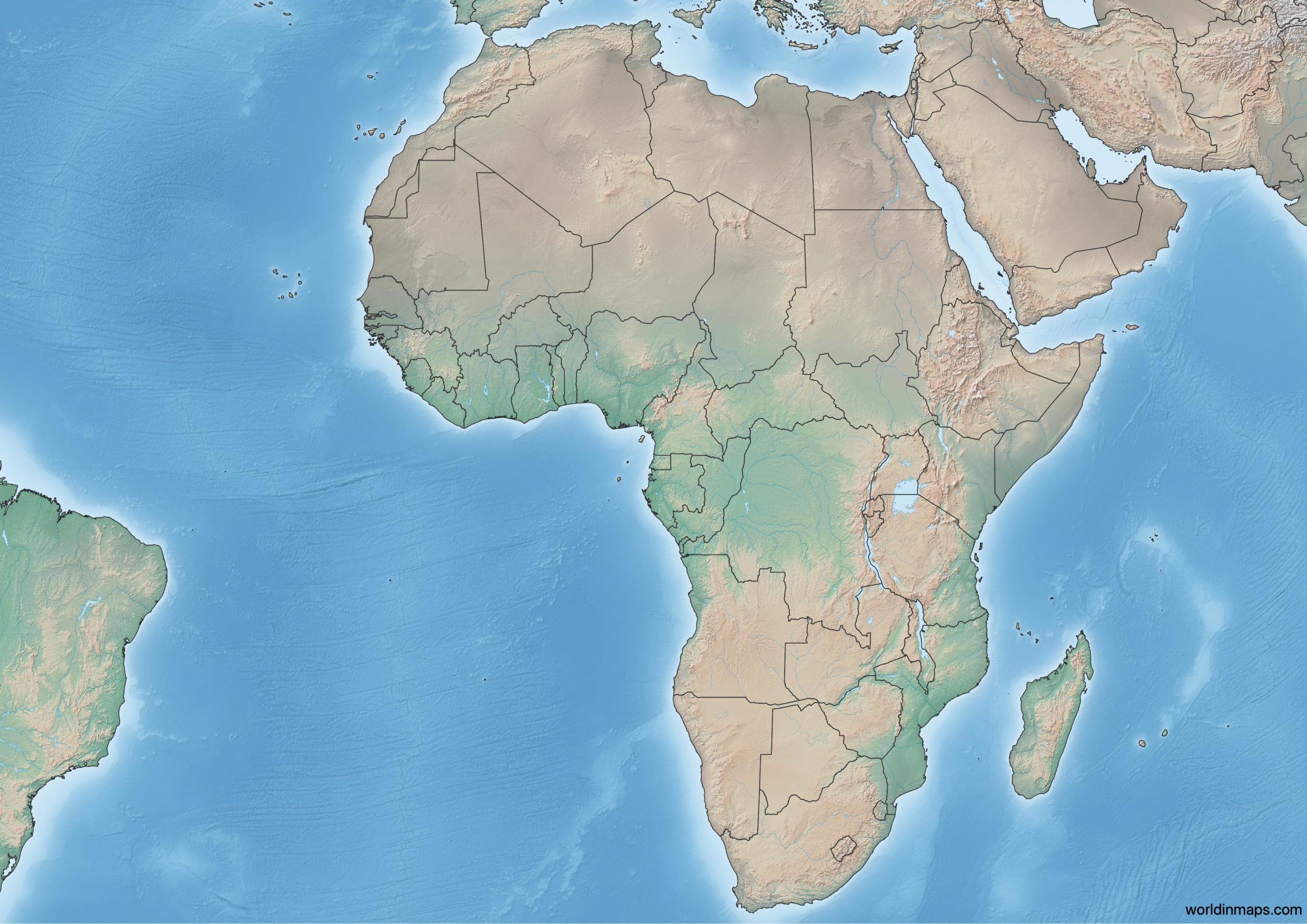
{"urlFile":"https:\/\/worldinmaps.com\/wp-content\/uploads\/2020\/08\/Topographic-map-of-Africa-scaled.jpeg","nameFile":"Physical map of Africa"}
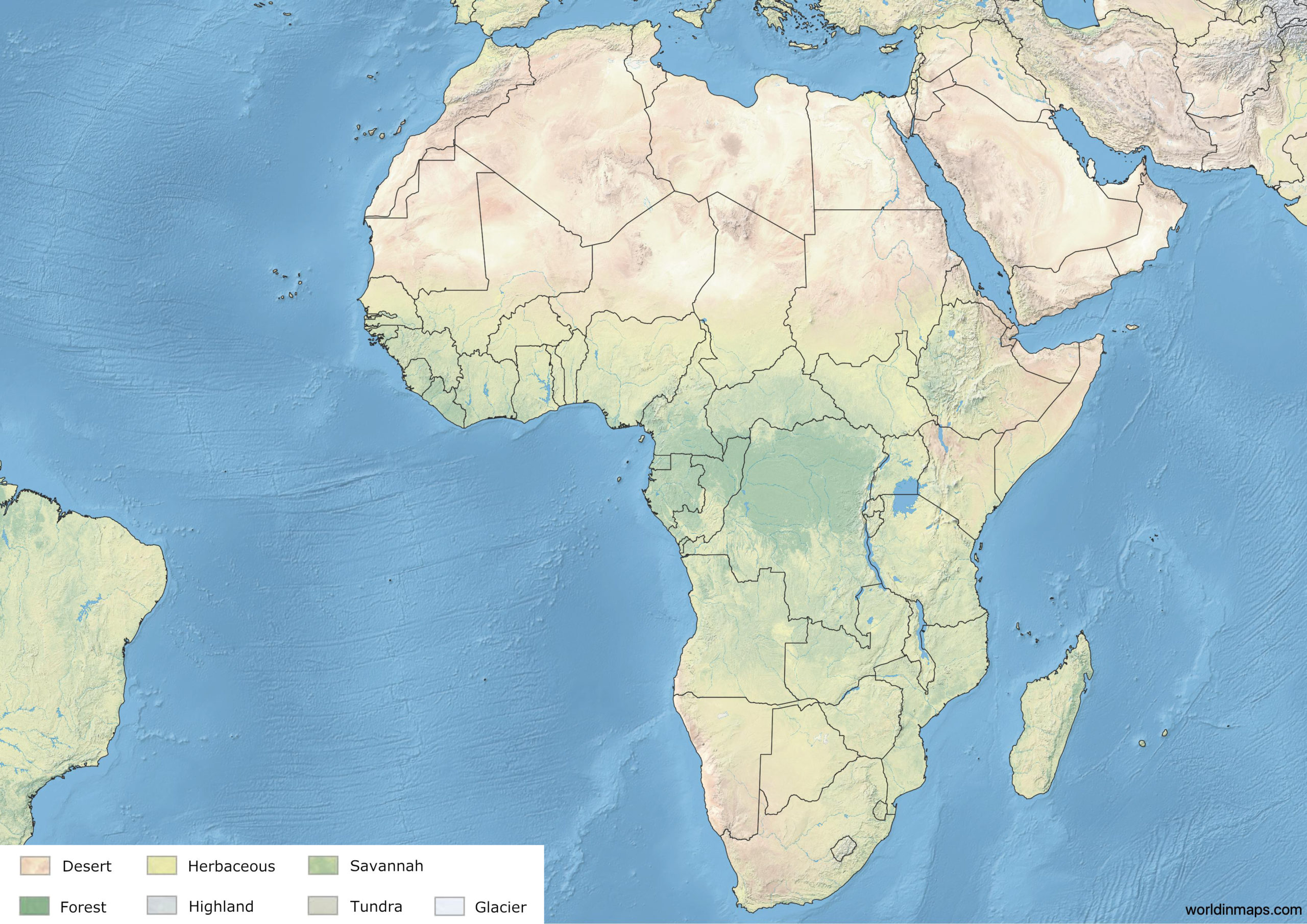
Land cover map of Africa
{"urlFile":"https:\/\/worldinmaps.com\/wp-content\/uploads\/2020\/08\/Land-cover-map-of-Africa-1-scaled.jpeg","nameFile":"Land cover map of Africa"}
Borders
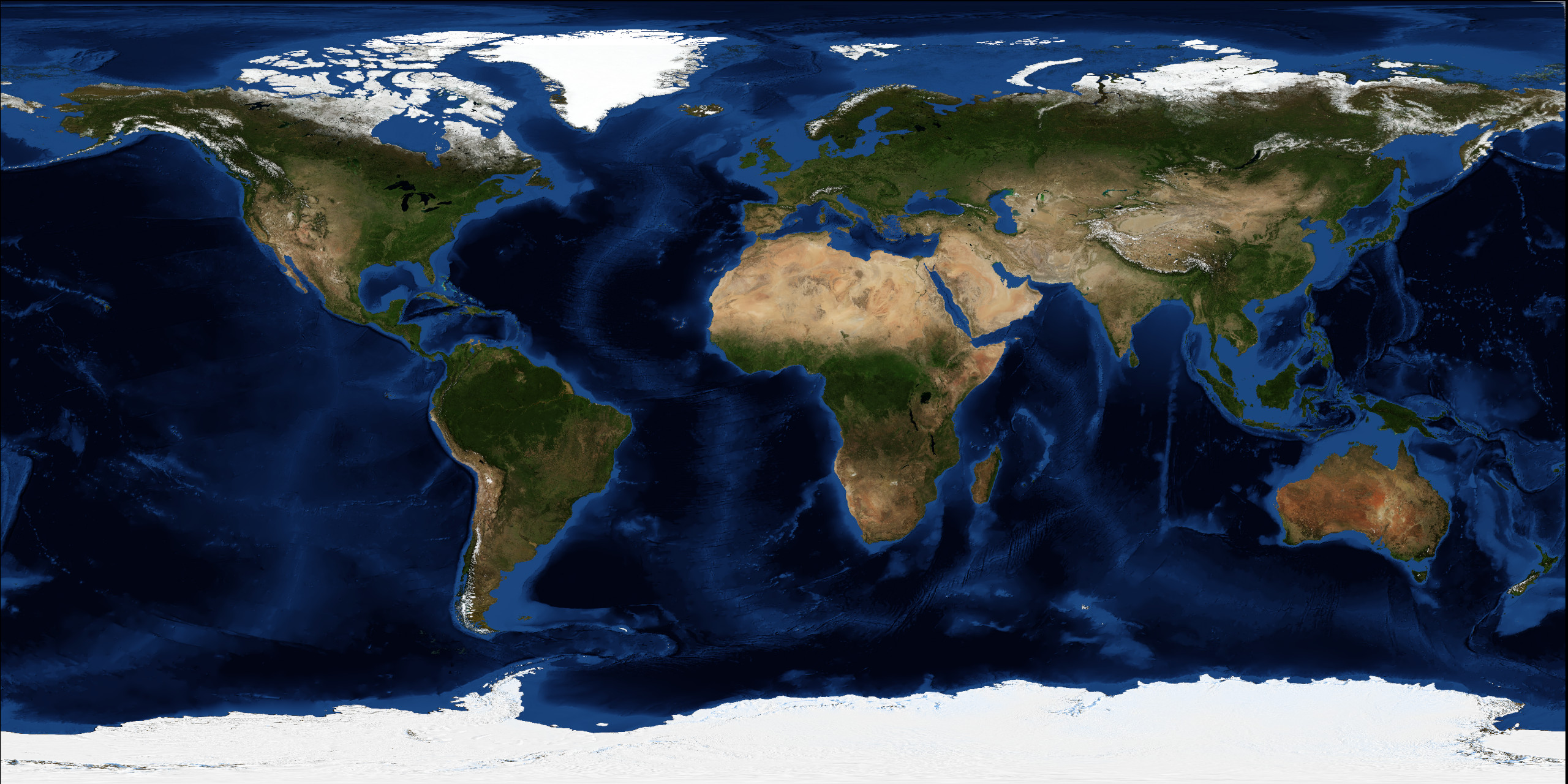
Africa is surrounded by the Mediterranean Sea to the north, the Isthmus of Suez and the Red Sea to the northeast, the Indian Ocean to the southeast and the Atlantic Ocean to the west. In addition, Africa includes also Madagascar ant the following archipelagos: Comoros, Mauritius, São Tomé and Príncipe, Cape Verde and the Seychelles.
Area
30 370 000 km2 (11 730 000 sq mi)
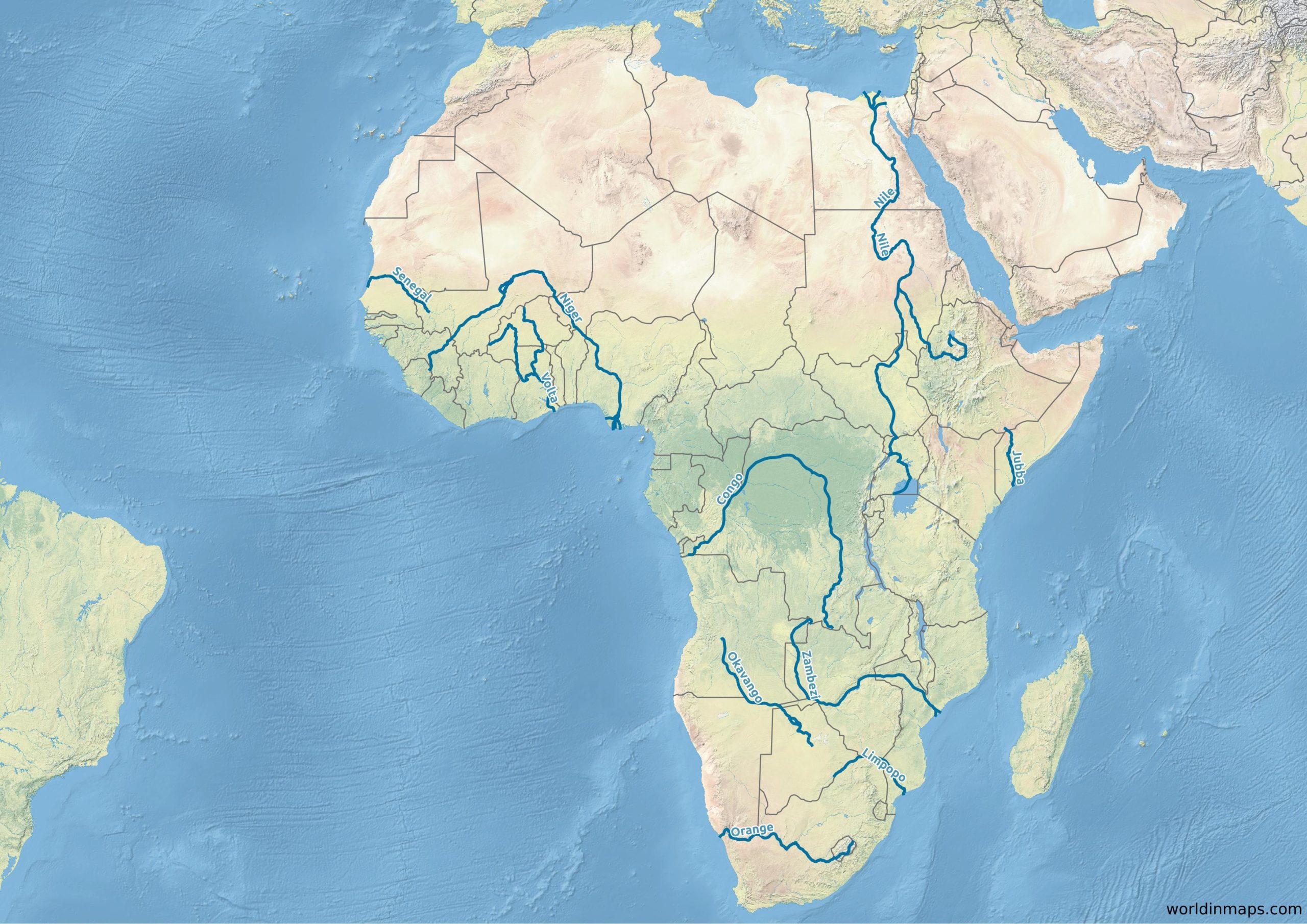
Rivers in Africa
{"urlFile":"https:\/\/worldinmaps.com\/wp-content\/uploads\/map-of-africa-river-scaled.jpeg","nameFile":"Map of majors rivers in Africa"}
List of the major rivers of Africa with their length: