We use cookies to give you the best experience on our website. By using this website
you agree to the use of cookies and our Privacy Policy and Terms.
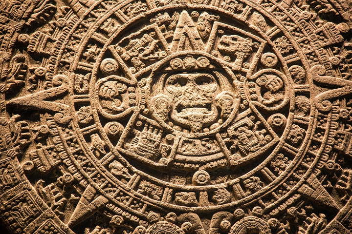
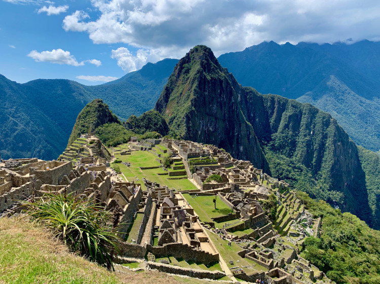
Aztec empire
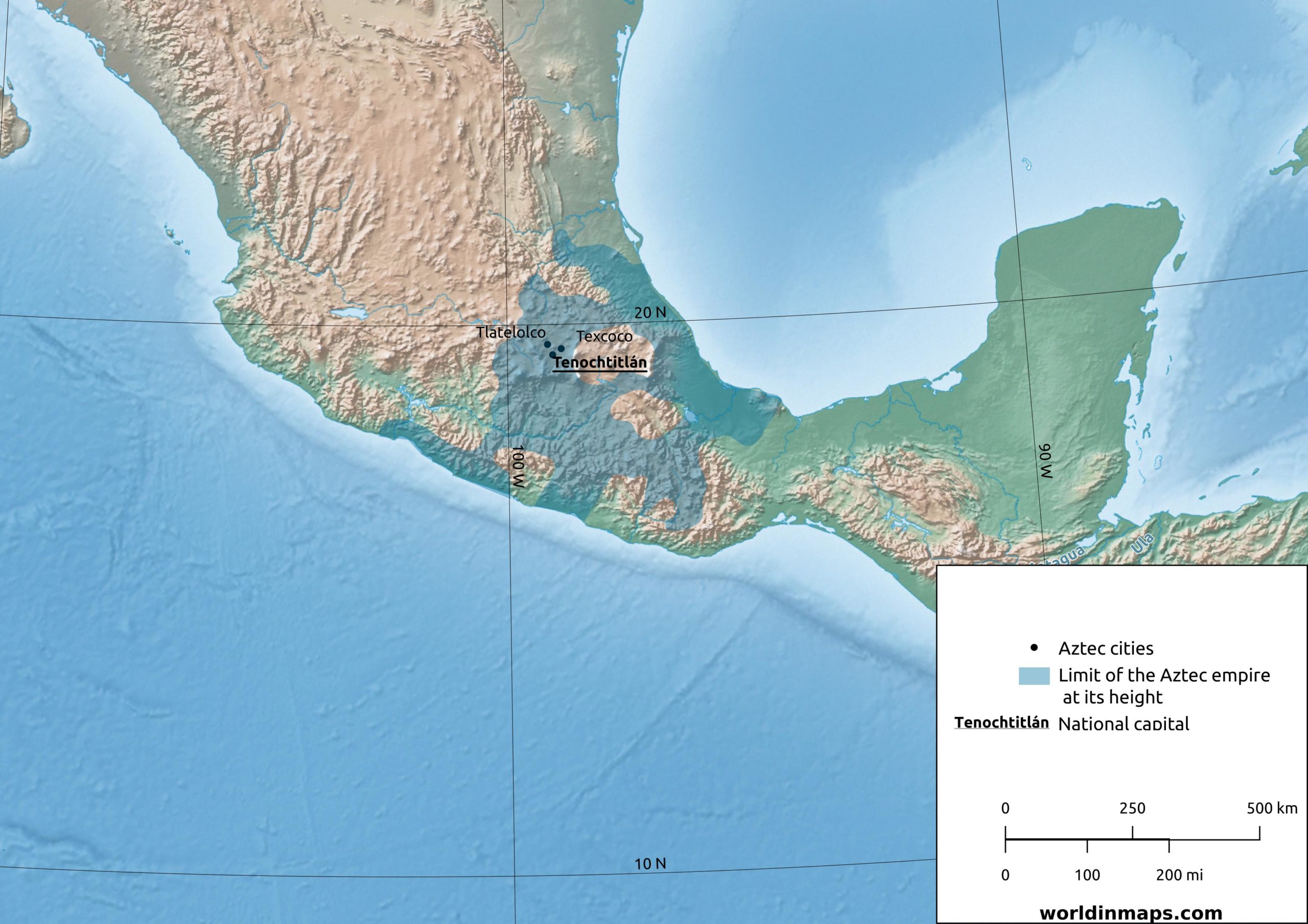
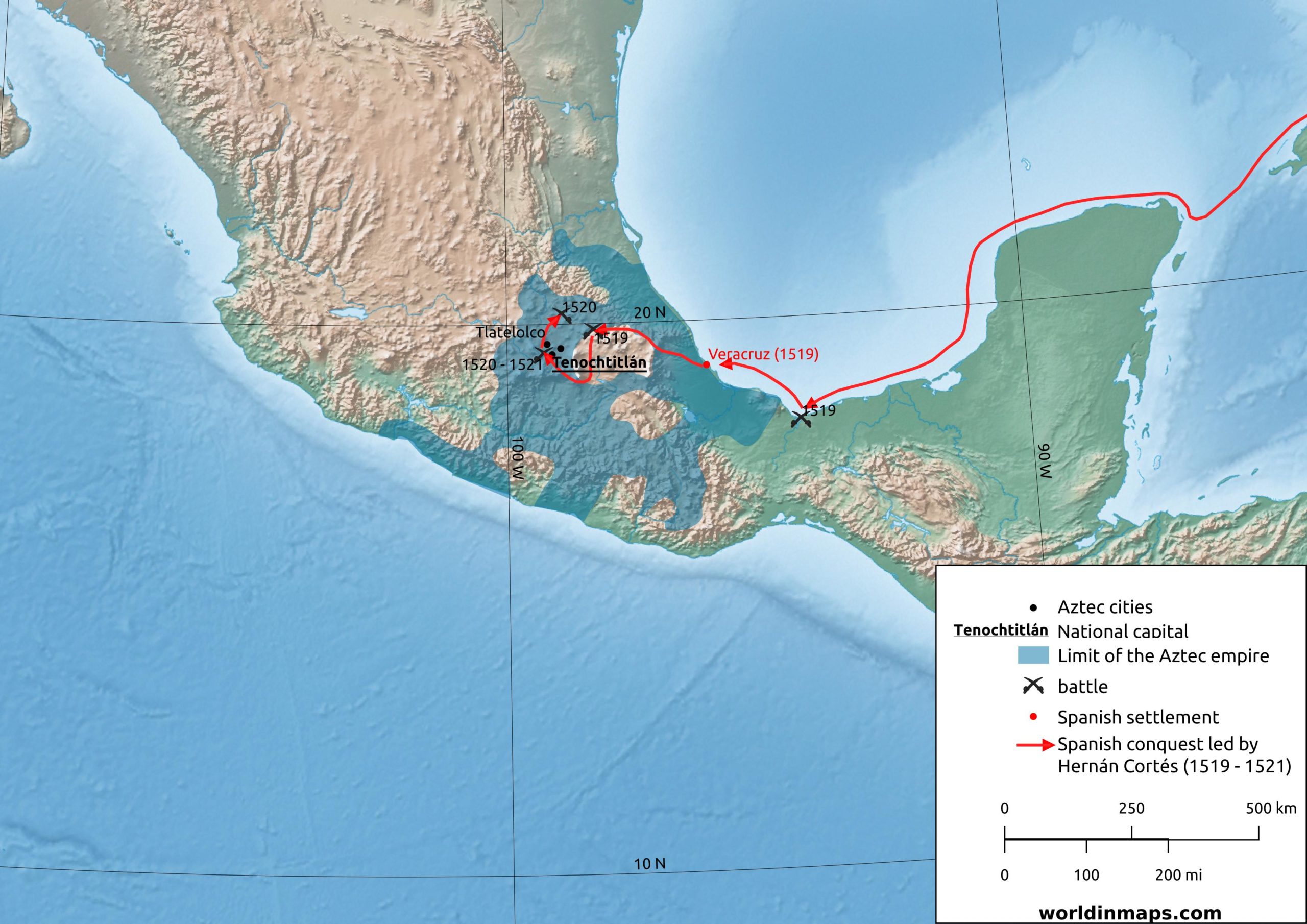
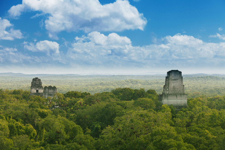
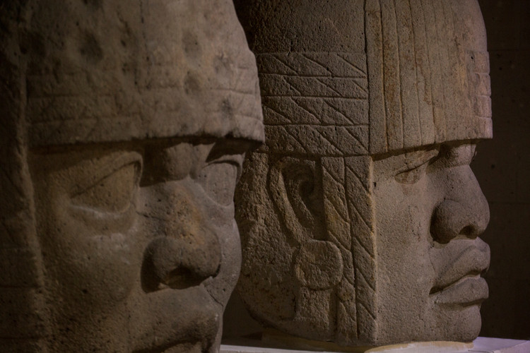
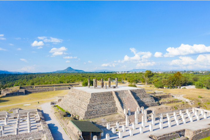
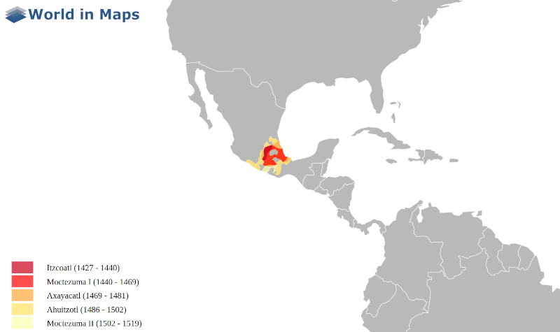
The Aztec empire (1376 – 1521) covered a part of actual Mexico and its capital was located at the current city of Mexico. The maps and data cover from the start of the Aztecs to the Spanish conquest led by Hernán Cortés. The Aztec empire map cover also the expansion by the different Tlatoque (Emperor)
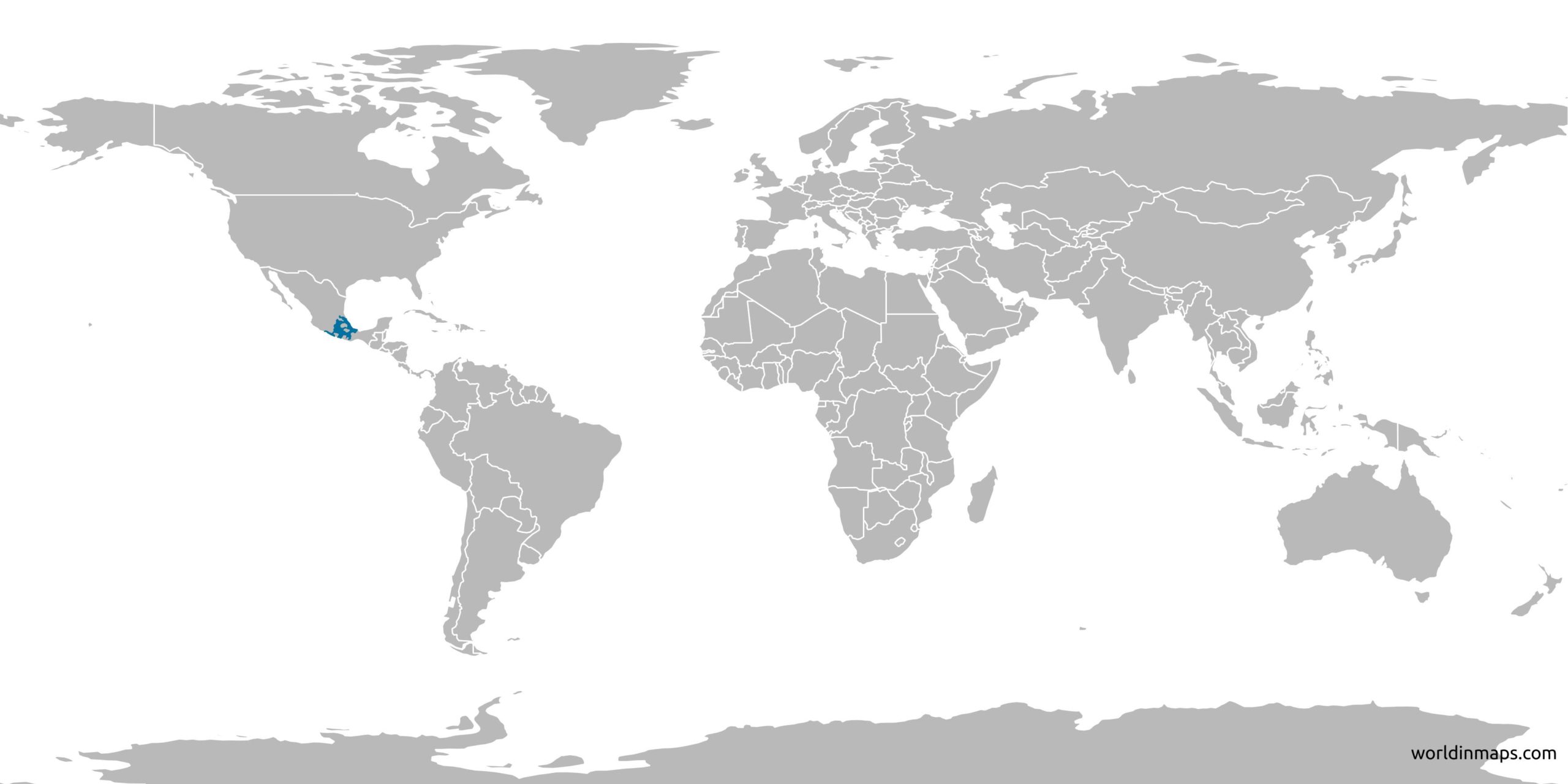
Location of the Aztec civilization on the world map
Key facts
Government
Government type
Hegemonic military confederation of allied city-states
Capital
Tenochtitlan (Mexico)
Tlatoque (Emperor)
1376 – 1395
Acamapichtli
1395 – 1417
Huitzilihuitl
1417 – 1427
Chimalpopoca
1427 – 1440
Itzcoatl
1440 – 1469
Moctezuma I
1469 – 1481
Axayacatl
1481 – 1486
Tizoc
1486 – 1502
Ahuitzotl
1502 – 1520
Moctezuma II
1520 – 1520
Cuitláhuac
1520 – 1521
Cuauhtémoc
Timeline
1428
Foundation of the alliance between Itzcoatl (Tenochtitlan), Nezahualcoyotl (Texcoco) and Totoquihuatzin (Tlacopan)
The end of the Aztec Empire is due to the Spanish conquest led by Hernán Cortés (1519 – 1521). The expedition of Hernán Cortés didn’t start from Spain, but from the actual Cuba, that has been a Spanish colony since its discovery by Christopher Columbus 30 years before.